Bhuj Anjar Area Gujarat Topographic Map 1955
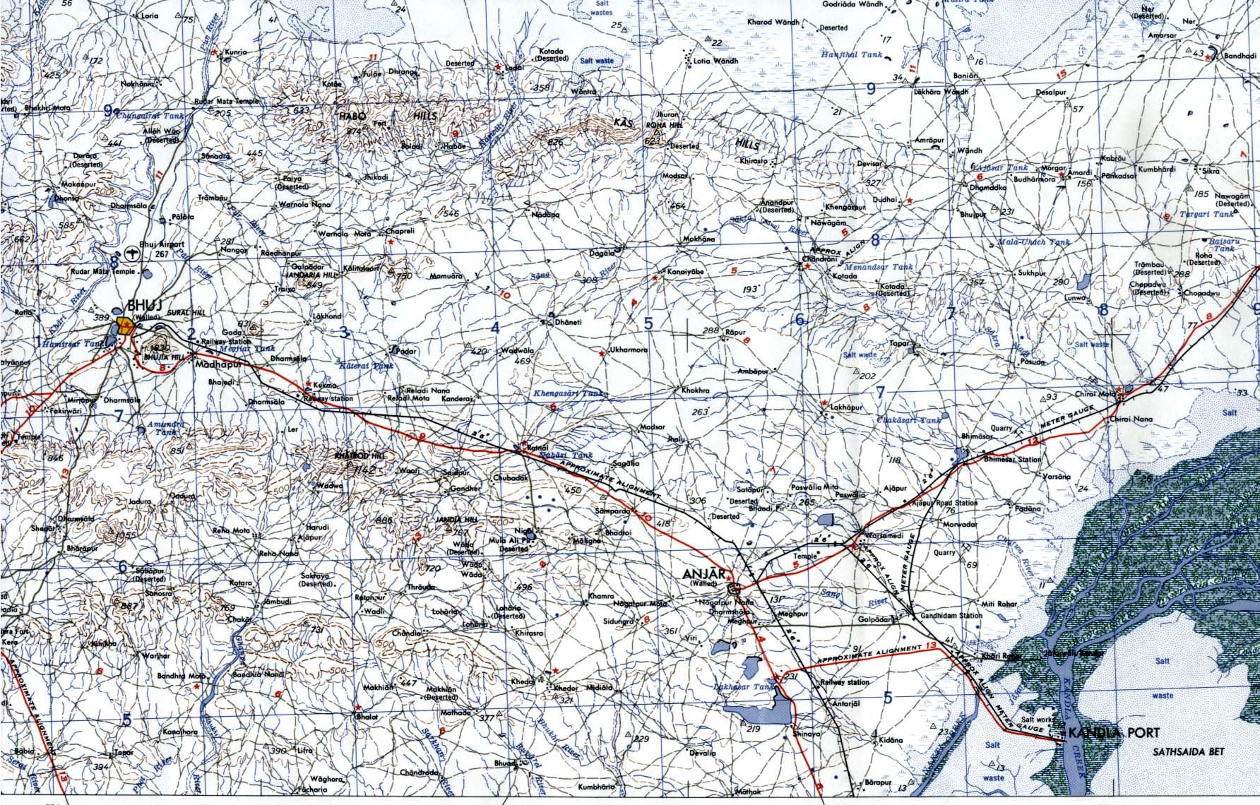
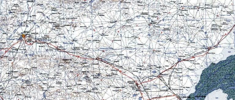
Bhuj Anjar Area Gujarat Topographic Map 1955


 India map 1760India historical map mogulBombay India historical map 1909Wikipedia oldmysore India mapHistoric maps british IndiaHistorical map of India in 1760Calcutta map 1945 City PlanIndia historical map 1700 1792 from The Historical AtlasDelhi and Vicinity histrotical map 1962 City PlanDamao Daman 1954 Topographic India MapHistorical map IndiaHistorical map India 1808Historical map of India 1809India historical map 1882, Commerce and Commercial NavigationBombay South 1954 Topographic MapIndia historical map 1760 from The Public Schools Historical AtlasBombay North 1954 Topographic MapIndia historical mapBombay India historical map 1954 City PlanHistorical maps India in 1804
 India disputed areas map
 Cultural regional areas of india map
 Crop areas map of india 1973
 State and union territories India map
 India districts map
 Rivers India map
 Physical features of India map
 South asia local India map
 Indien bundesstaaten und unionsterritorien map
 Railway network map
 India map bbsr direct train full
 Shared relief map of India 1979
 Indian railways map
 Map of relief India
 Religions map of India 1987