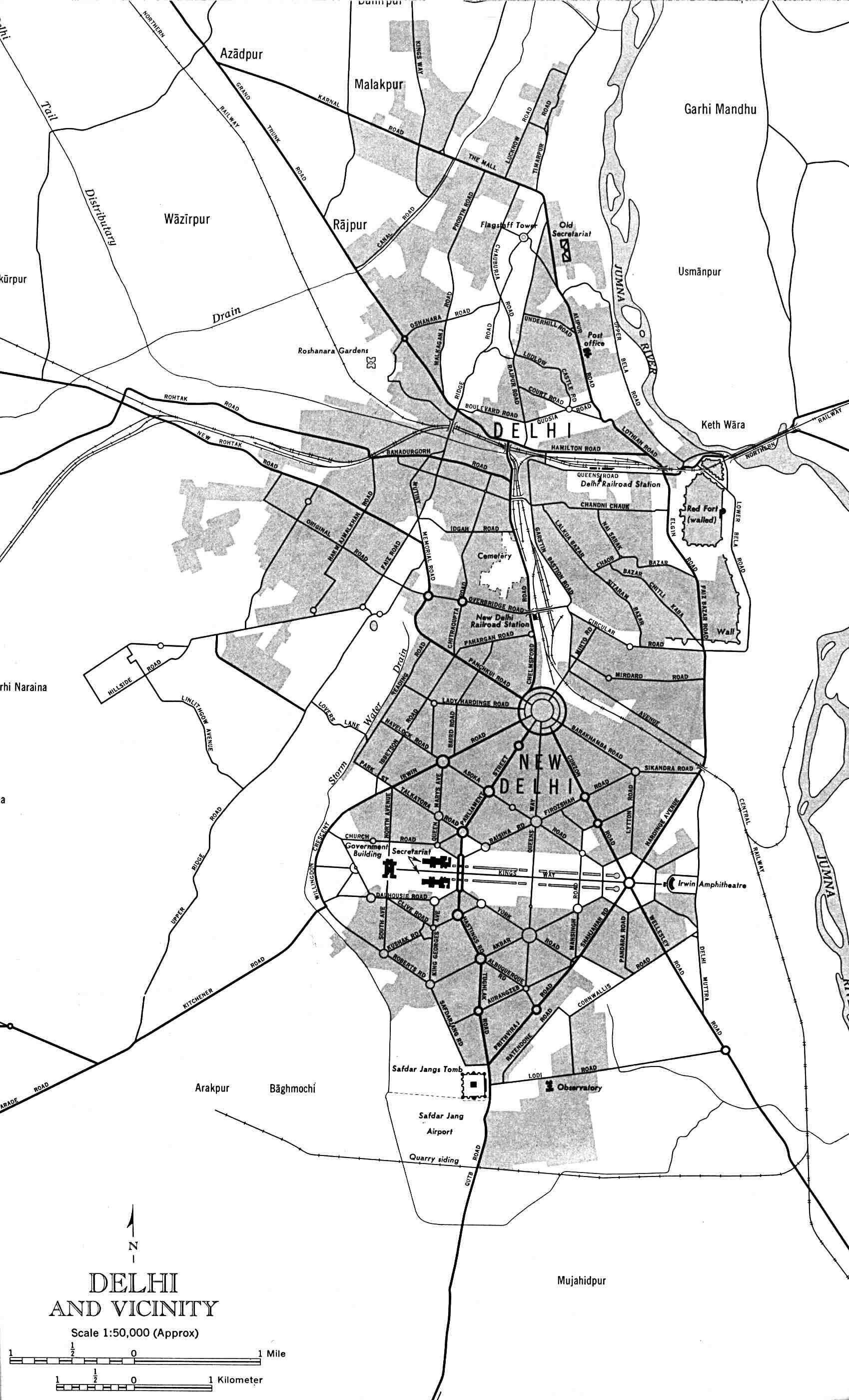
Delhi-and-Vicinity-histrotical-map-1962-City-Plan
India Maps
 Rivers and lakes India map
 India flag map
 India rajasthan locator map
 India languages map
 Map extreme points of India
 India South asia Map
 Rivers map of India
 Delhi and Agra Operational Navigation Chart
 Distribution of christians in Indian states map
 Bombay Map Tactical Pilotage Chart
 India national roads map
 States and union territories of India
 Historical map India
 Bombay South 1954 Topographic Map
 India airports and seaports map
 India flag
 India geology map
 Political map of India 1996
 South asia India satellite map
 Crop areas map of india 1973
 India map
 Topographic India map
 Historical map India 1808
 Shared relief map of India 1979
 Religions map of India 1987
 India states by rto codes map
 Indien bundesstaaten und unionsterritorien map
 West India map
 India states numbered map
 India map 1760
 India regions citys map
 India physio map 2001
 India topogaphy
 Languages and religions map of India 1973
 India tourist map