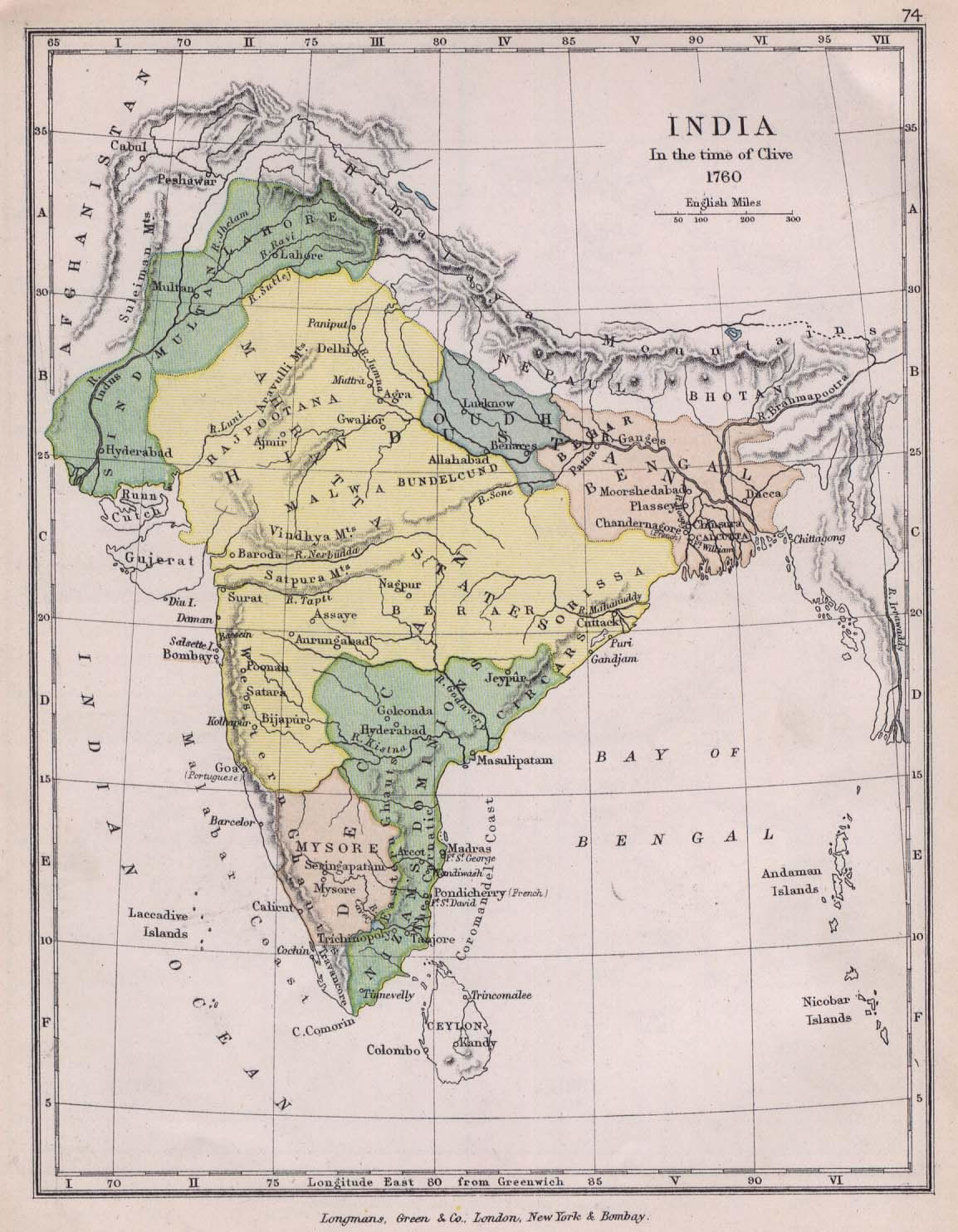
india-historical-map-1760-from-The-Public-Schools-Historical-Atlas
India Maps
 India historical map 1882, Commerce and Commercial Navigation
 Delhi and Agra Operational Navigation Chart
 Wikipedia oldmysore India map
 India location world map
 Map of india
 India railway schematic map
 India states numbered map
 Map of relief India
 India comptoirs map
 Indien map 2006
 Religions map of India 1987
 Historical map of India 1809
 India disputed areas map
 South asia India satellite map
 Languages and religions map of India 1973
 India geographical map
 Bombay South 1954 Topographic Map
 Rivers map of India
 India ter map
 Railway network schematic map
 Bombay North 1954 Topographic Map
 India natural hazards map
 India calcutta map
 South asia local langage map
 India stats map
 India pakistan physical map
 States and union territories of India
 India topogaphy
 India historical map 1760 from The Public Schools Historical Atlas
 China India border eastern sector 1988
 Language travel from India map
 South India regions map
 Calcutta map 1945 City Plan
 India locator map blank
 India tourist map