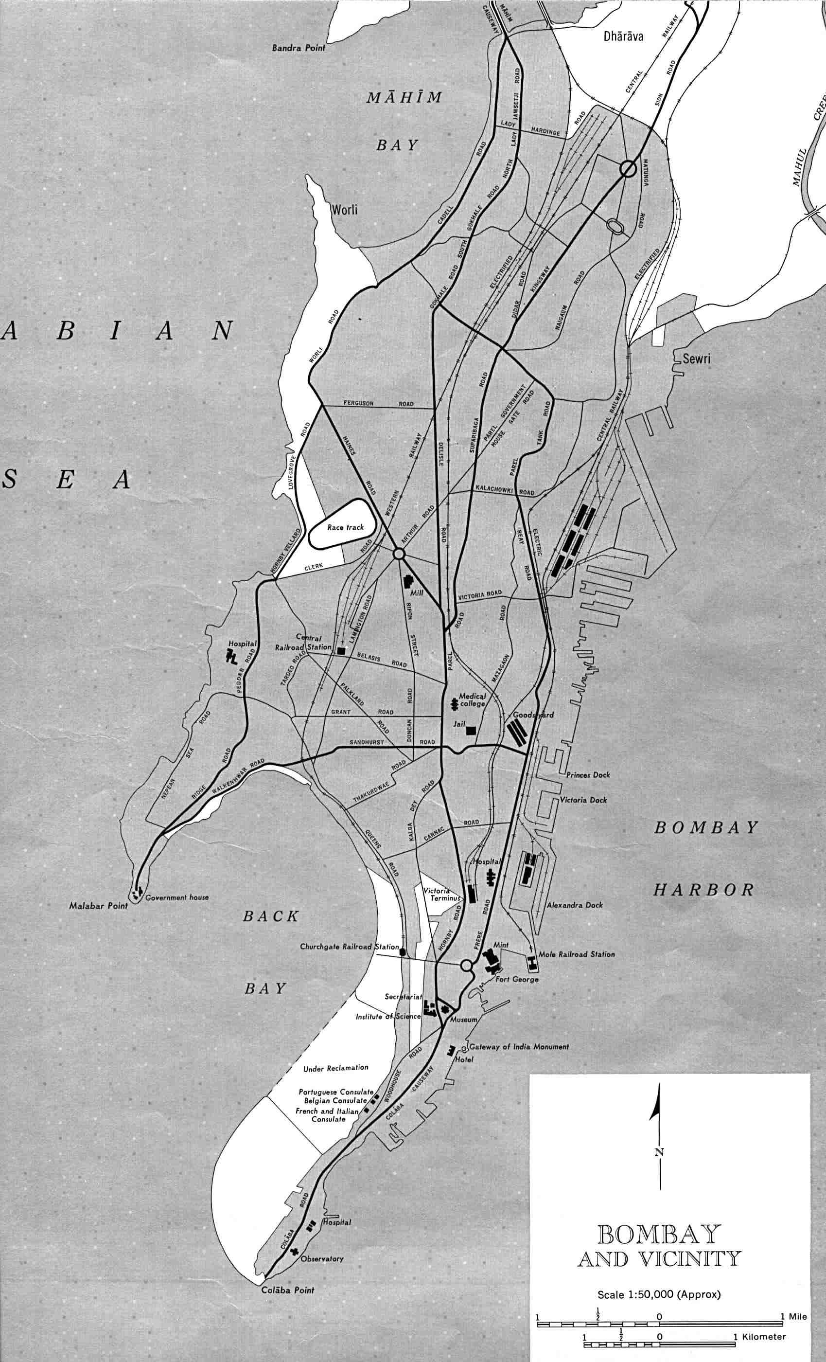
Bombay-india-historical-map-1954-City-Plan
India Maps
 China India border eastern sector 1988
 Indien bundesstaaten und unionsterritorien map
 India physical
 India rajasthan locator map
 India Transportation map
 India disputed areas map
 Bhuj Anjar Area Gujarat Topographic Map 1955
 Relief of India
 Bombay North 1954 Topographic Map
 India natural hazards map
 Historical maps India in 1804
 State and union territories India map
 Bombay India historical map 1909
 India flag map
 Languages and religions map of India 1973
 Calcutta map 1945 City Plan
 Railway network map
 India climatic zone map
 Wikipedia oldmysore India map
 India flag
 India regions citys map
 Small map of india
 India map bbsr direct train full
 India geology zones
 India city scale map
 Railway network schematic map
 The india map
 Political map of India 1996
 Population map of India 1973
 Damao Daman 1954 Topographic India Map
 Rivers and lakes India map
 India physical map
 India ter map
 South asia local India map
 Topographic India map