india-map-1760
India Maps
 India physio map 2001
 Delhi and Vicinity histrotical map 1962 City Plan
 Topographic India map
 South asia local langage map
 Map of india
 India states numbered map
 South asia local India map
 Historic maps british India
 Cultural regional areas of india map
 The india map
 India South asia Map
 India regions citys map
 India geology zones
 Calcutta map 1945 City Plan
 Railway network schematic map
 China India border western sector 1988
 Crop areas map of india 1973
 India historical map
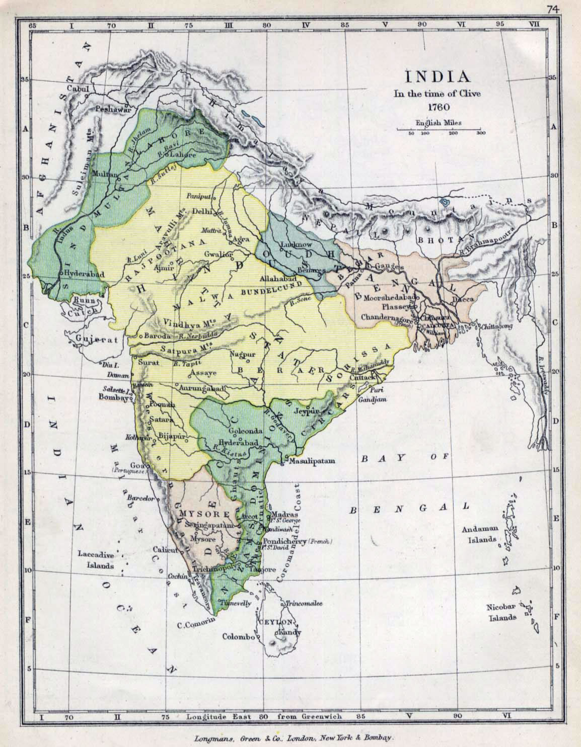
 India map 1760
 Small map of india
 India citys map
 South India regions map
 Population map of India 1973
 India map bbsr direct train full
 India flag
 Railway network map
 Historical maps India in 1804
 India historical map 1760 from The Public Schools Historical Atlas
 India small map
 India relief map
 Alphabetisierungsrate indien karte
 Rivers India map
 India topogaphy
 China India border eastern sector 1988
 India topographic blank map