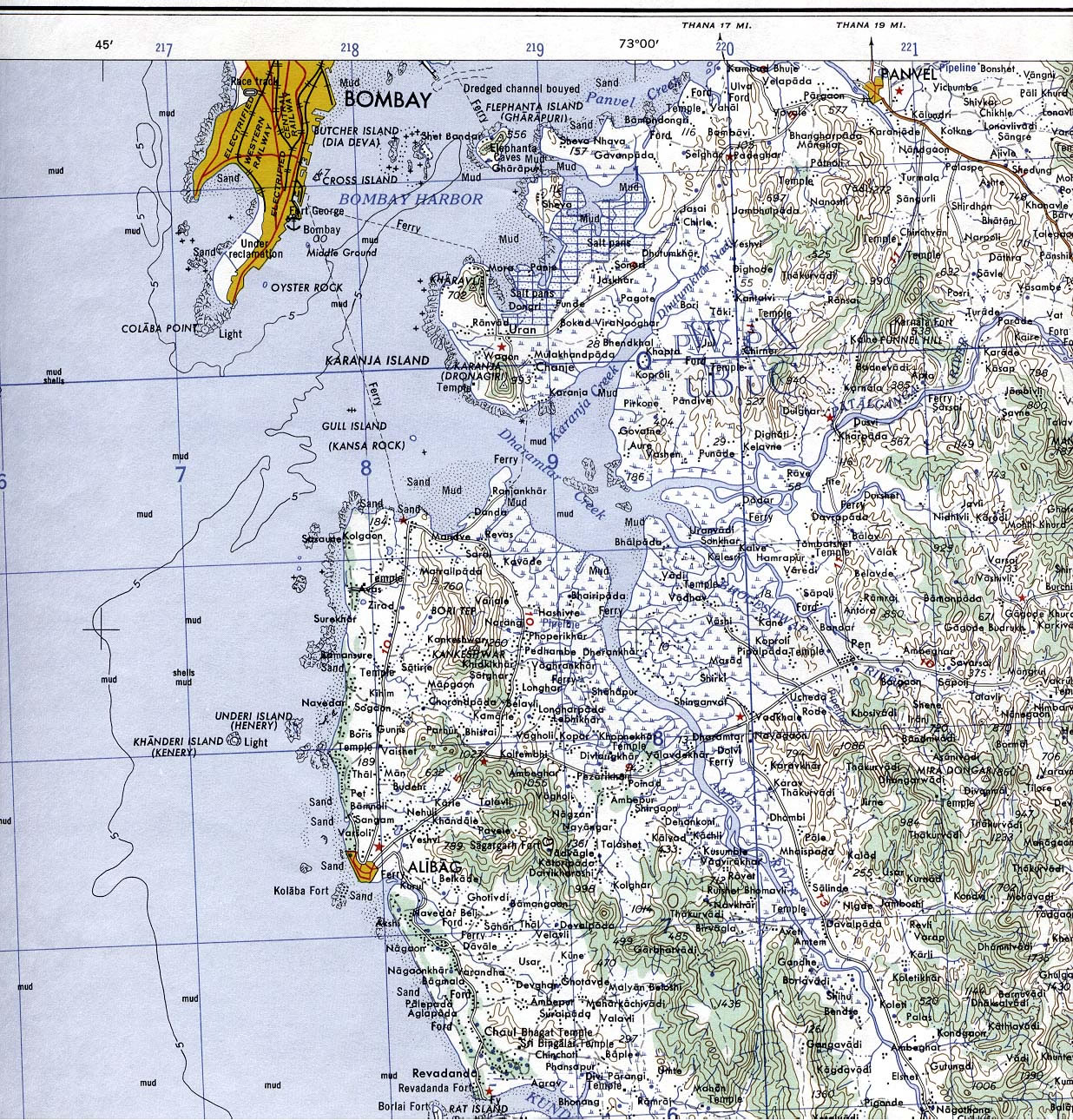
Bombay-South-1954-Topographic-Map
India Maps
 Railway network map
 Languages and religions map of India 1973
 Delhi Location
 Map of india
 India physical map
 India railway schematic map
 Crop areas map of india 1973
 India rajasthan locator map
 India energy map 1997
 India airports and seaports map
 Indien map 2006
 South asia local India map
 India comptoirs map
 Physical features of India map
 Rivers India map
 Religions map of India 1987
 Population map of India 1973
 Population density India map
 Where India located
 Shared relief map of India 1979
 Political map of India 2001
 India ter map
 Rivers and lakes India map
 India numbered stats
 India china border western sector 1980
 India location world map
 China India border western sector 1988
 India pakistan physical map
 India states numbered map
 Topographic India map
 India states by rto codes map
 India languages map
 Rivers map of India
 India tourist map
 Indian railways map