historical-map-of-india-1809
India Maps
 India Transportation map
 Cultural regional areas of india map
 Historical map of India in 1760
 Rivers India map
 South asia local India map
 India railway schematic map
 Wikipedia oldmysore India map
 India historical map 1760 from The Public Schools Historical Atlas
 Alphabetisierungsrate indien karte
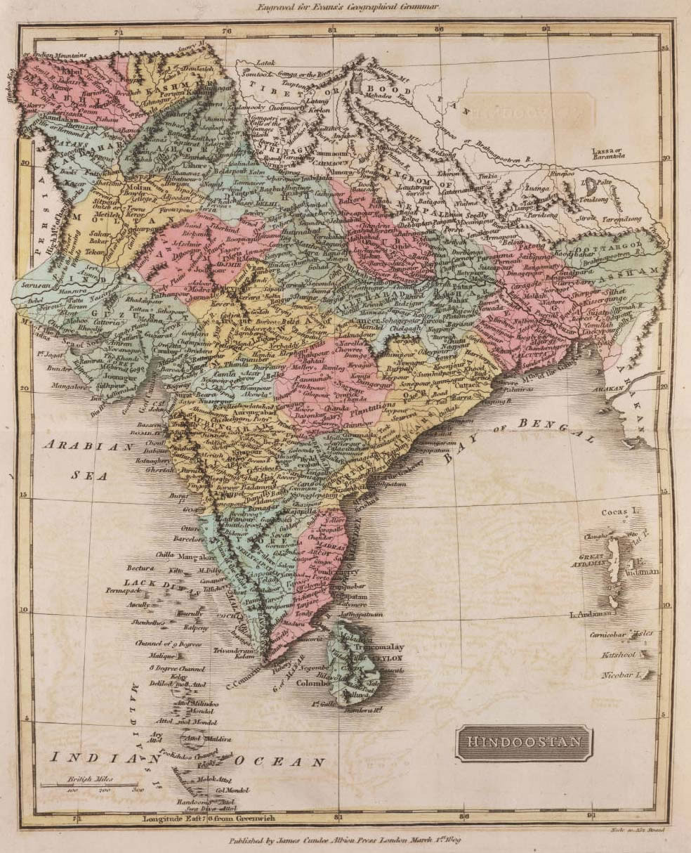
 Historical map of India 1809
 Rivers map of India
 India flag map
 India ter map
 Map of India airport city states
 South India regions map
 India satellite map
 Relief of India
 Karte indien bundesstaaten unionsterritorien
 India disputed areas map
 India languages map
 India physical map
 India
India Rivers and lakes topographic map
 India energy map 1997
 India geographical map
 Railway network map
 India physical
 Delhi and Vicinity histrotical map 1962 City Plan
 Bhuj Anjar Area Gujarat Topographic Map 1955
 Map extreme points of India
 State and union territories India map
 India city scale map
 India flag
 Relief map of India 1996
 India historical map 1882, Commerce and Commercial Navigation