historic-maps-british-india
India Maps
 South asia local India map
 Bombay India historical map 1909
 Bombay South 1954 Topographic Map
 Historical map India
 India rajasthan locator map
 Cultural regional areas of india map
 Historical map of India 1809
 India citys map
 Location of Delhi
 Small map of india
 South India regions map
 Karte indien bundesstaaten unionsterritorien
 Population map of India 1973
 Relief of India
 South asia local langage map
 India small map
 India districts map
 India flag map
 India regions citys map
 Crop areas map of india 1973
 Political map of India 2001
 Topographic India map
 Delhi Location
 Map of India airport city states
 India climatic zone map
 India railway schematic map
 Shared relief map of India 1979
 India ter map
 India natural hazards map
 India historical map 1700 1792 from The Historical Atlas
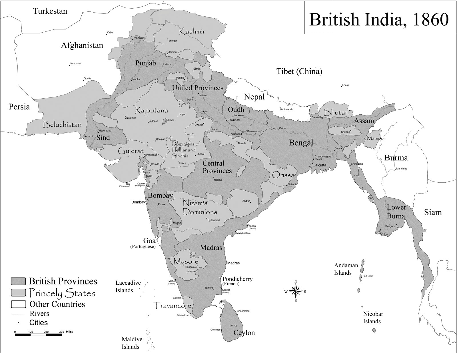
 Historic maps british India
 India satellite map
 Bhuj Anjar Area Gujarat Topographic Map 1955
 China India border eastern sector 1988
 India disputed areas map