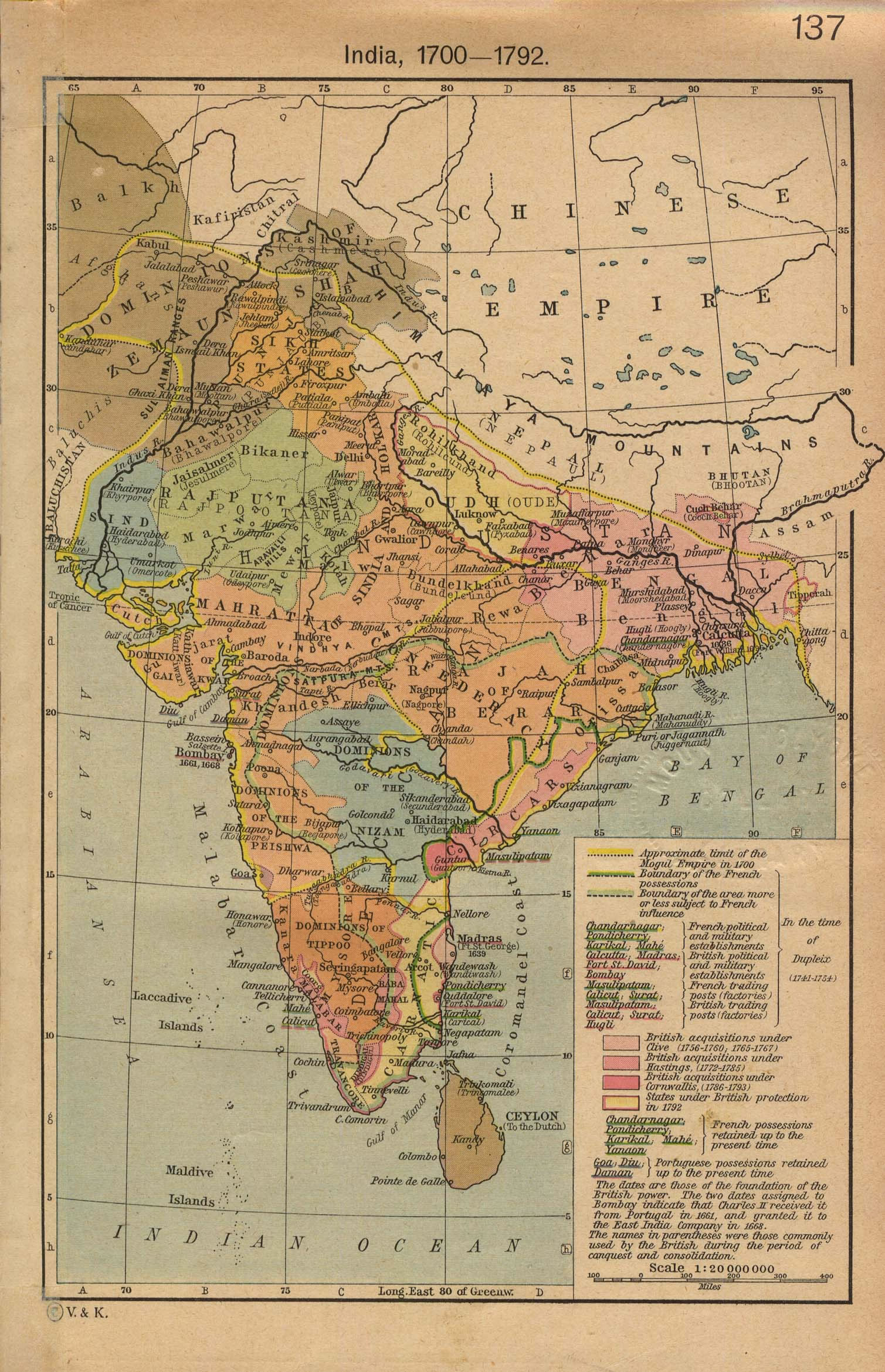
india-historical-map-1700-1792-from-The-Historical-Atlas
India Maps
 Airports and seaports map
 India location world map
 Map India
 Historical map India 1808
 India pakistan physical map
 Rivers map of India
 Indien bundesstaaten und unionsterritorien map
 India stats map
 Historical map of India 1809
 Topographic India map
 Indian railways map
 Railway network schematic map
 India tourist map
 India physical map
 India geology map
 Relief map of India 1996
 India flag map
 Wikipedia oldmysore India map
 Shared relief map of India 1979
 Karte indien bundesstaaten unionsterritorien
 State and union territories India map
 Delhi and Vicinity histrotical map 1962 City Plan
 Delhi and Agra Operational Navigation Chart
 India geological regions map
 India physical
 Rivers and lakes topographic map
 Bombay Map Tactical Pilotage Chart
 Religions map of India 1987
 India climatic zone map
 Bombay South 1954 Topographic Map
 Historical map of India in 1760
 India states numbered map
 Map extreme points of India
 India states by rto codes map
 India satellite map