historical-map-of-india-in-1760
India Maps
 South India regions map
 India tourist map
 India Transportation map
 Blank colored India map
 Map extreme points of India
 Location of Delhi
 India geology map
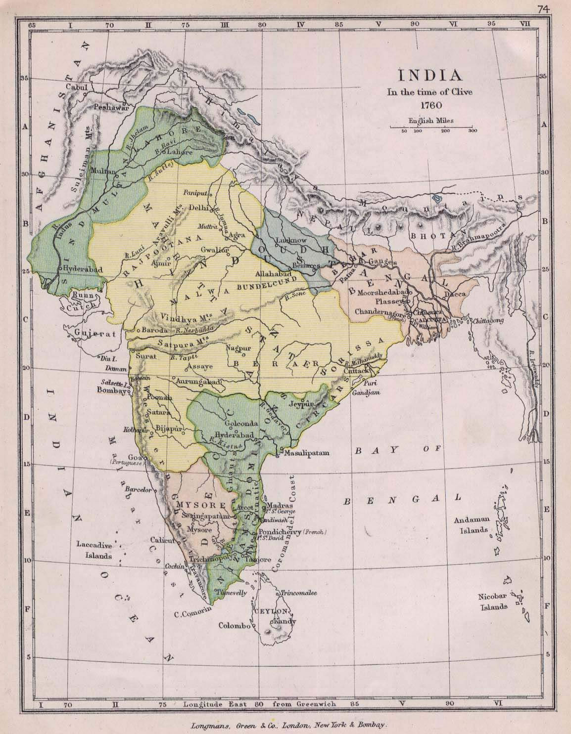
 Historical map of India in 1760
 india wfb map
 Rivers map of India
 Indien map 2006
 Large city population density India map
 India map 1760
 India stats map
 India national roads map
 Bombay India historical map 1954 City Plan
 South asia local India map
 Physical features of India map
 India city scale map
 Historical maps India in 1804
 Historical map India
 Historical map of India 1809
 India china border western sector 1980
 India historical map 1760 from The Public Schools Historical Atlas
 Rivers and lakes topographic map
 Delhi and Vicinity histrotical map 1962 City Plan
 India historical map 1700 1792 from The Historical Atlas
 Relief of India
 India South asia Map
 India disputed areas map
 Topographic India map
 Small map of india
 South asia local langage map
 India climatic zone map
 India geology zones