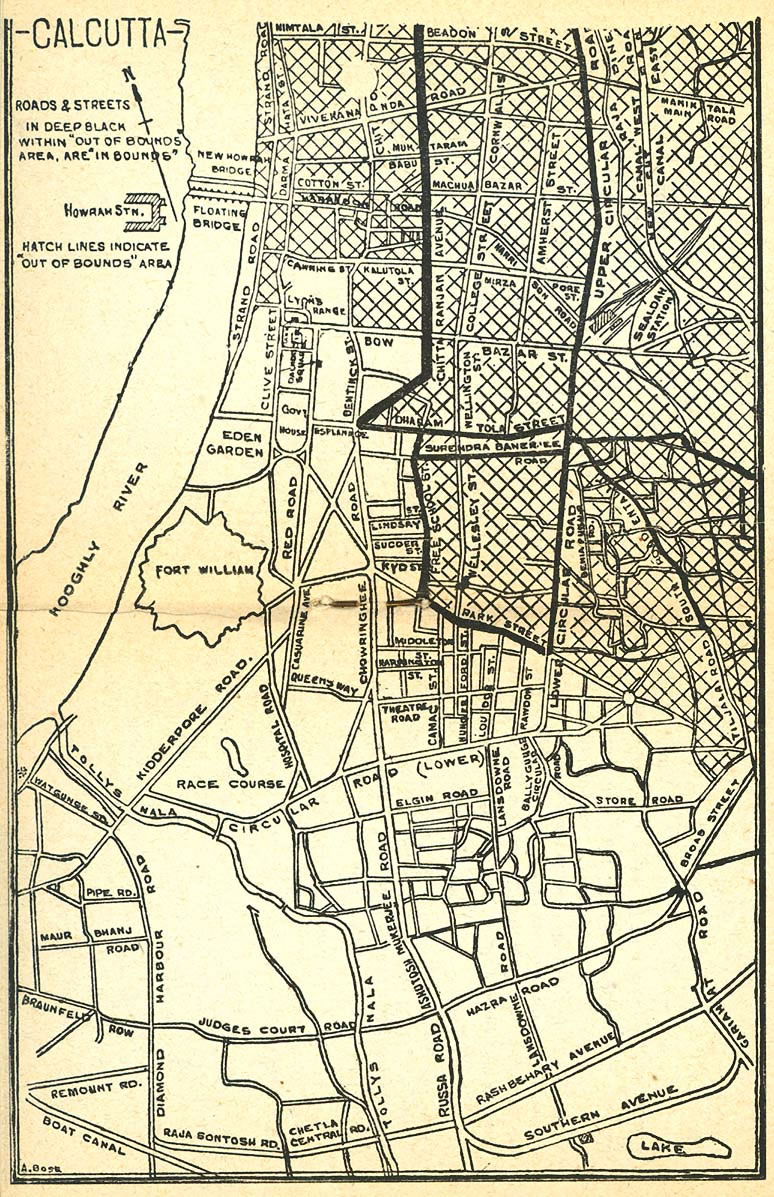
Calcutta-map-1945-City-Plan
India Maps
 Historical map of India 1809
 China India border western sector 1988
 Delhi Location
 India flag
 Relief map of India 1996
 South asia India satellite map
 Railway network map
 Bombay India historical map 1909
 States and union territories of India
 Relief of India
 Map of relief India
 Bombay North 1954 Topographic Map
 South asia local langage map
 India calcutta map
 Crop areas map of india 1973
 China India border eastern sector 1988
 Indien bundesstaaten und unionsterritorien map
 Political map of India 1996
 India physical map
 India topographic blank map
 West India map
 Where India located
 India languages map
 The india map
 India districts map
 Blank colored India map
 Large city population density India map
 India railway schematic map
 India historical map mogul
 India historical map
 Historical map India
 India Transportation map
 India energy map 1997
 Languages and religions map of India 1973
 India citys map