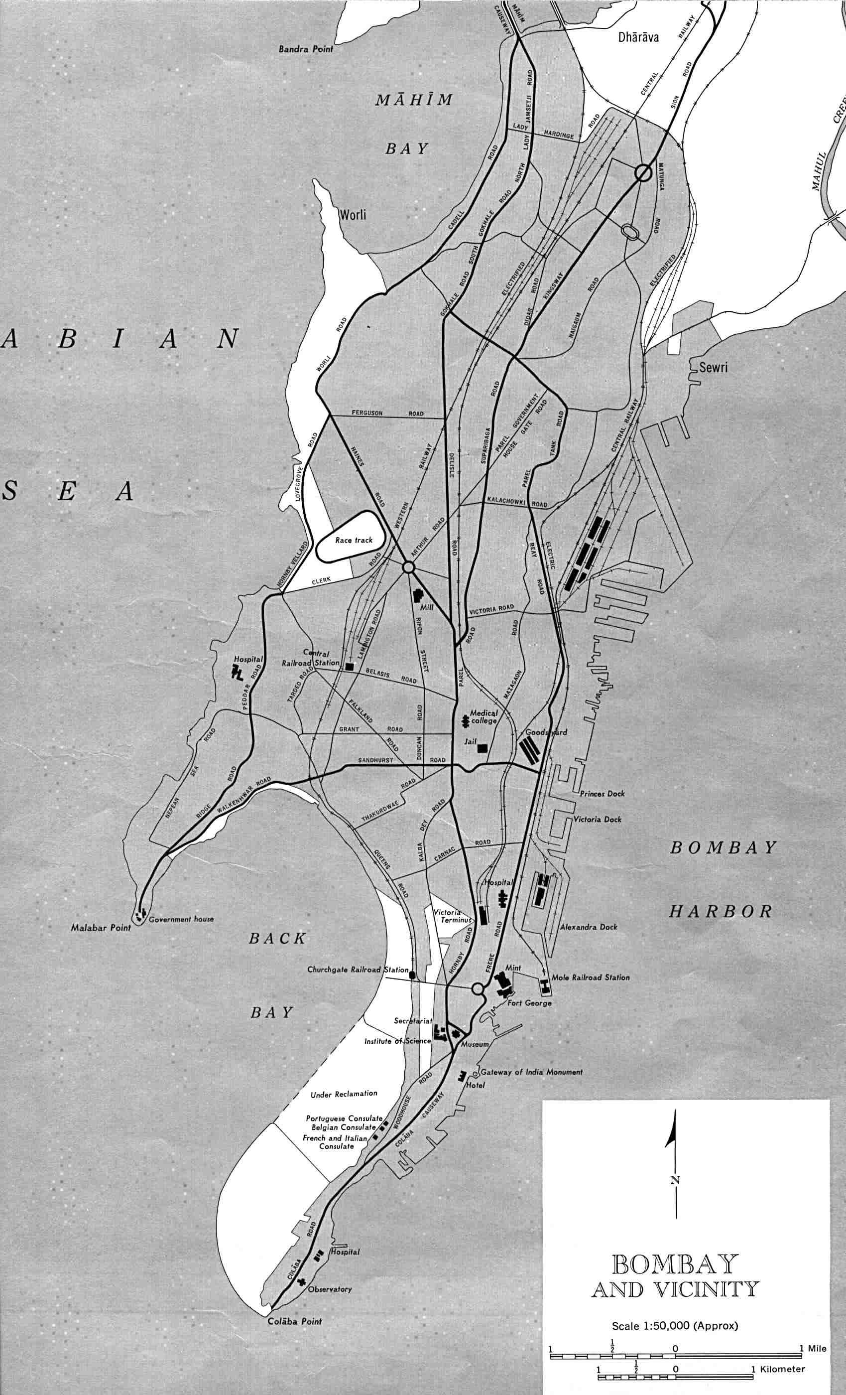
Bombay-india-historical-map-1954-City-Plan
India Maps
 India
India Blank colored India map
 Rivers India map
 Topographic India map
 India regions citys map
 India satellite map
 India physical
 China India border eastern sector 1988
 Rivers map of India
 Relief map of India 1996
 India map bbsr direct train full
 The india map
 India climatic zone map
 India physical map
 Population density India map
 Bombay India historical map 1954 City Plan
 Physical features of India map
 Relief of India
 India historical map 1882, Commerce and Commercial Navigation
 Where India located
 Delhi and Vicinity histrotical map 1962 City Plan
 Bhuj Anjar Area Gujarat Topographic Map 1955
 India flag map
 Delhi and Agra Operational Navigation Chart
 India states numbered map
 India historical map
 India airports and seaports map
 Historical map India 1808
 India location world map
 South asia local India map
 India china border western sector 1980
 Karte indien bundesstaaten unionsterritorien
 Language travel from India map
 Rivers and lakes India map
 Political map of India 2001