India states numbered map
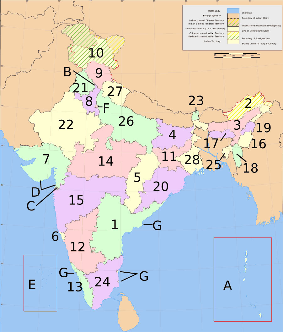
India states numbered map


 India states by rto codes mapState and union territories India mapStates and union territories of IndiaIndia districts mapSouth India regions mapSouth asia local India mapIndia stats mapIndia ter mapIndien map 2006South asia local langage mapIndien bundesstaaten und unionsterritorien mapKarte indien bundesstaaten unionsterritorien
 India numbered stats
 Map of India airport city states
 Distribution of christians in Indian states map
 Relief map of India 1996
 India relief map
 India airports and seaports map
 India historical map 1700 1792 from The Historical Atlas
 Physical features of India map
 India historical map 1882, Commerce and Commercial Navigation
 India disputed areas map
 Political map of India 1996
 India rajasthan locator map
 Historical maps India in 1804
 Map extreme points of India
 West India map
 Blank colored India map
 India map bbsr direct train full
 India map 1760
 Large city population density India map
 Bombay India historical map 1909
 India physical map
 Historic maps british India
 Historical map India