political-map-of-india-1996
India Maps
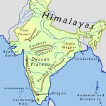 India geographical map
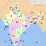 India states numbered map
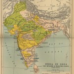 Historical maps India in 1804
 India locator map blank
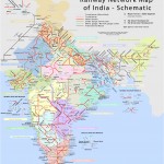 Railway network schematic map
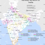 Railway network map
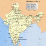 India national roads map
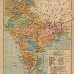 India historical map 1700 1792 from The Historical Atlas
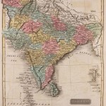 Historical map of India 1809
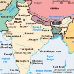 India citys map
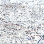 Bhuj Anjar Area Gujarat Topographic Map 1955
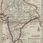 India historical map mogul
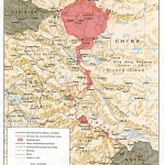 China India border western sector 1988
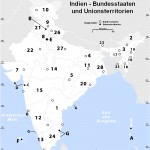 Karte indien bundesstaaten unionsterritorien
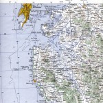 Bombay South 1954 Topographic Map
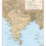 Relief map of India 1996
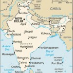 india wfb map
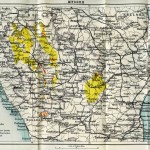 Wikipedia oldmysore India map
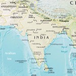 India pakistan physical map
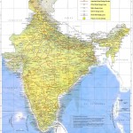 Indian railways map
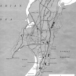 Bombay India historical map 1954 City Plan
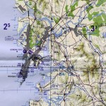 Bombay Map Tactical Pilotage Chart
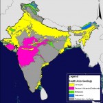 India geology zones
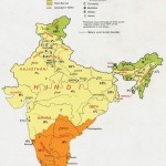 Languages and religions map of India 1973
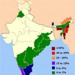 Distribution of christians in Indian states map
 Damao Daman 1954 Topographic India Map
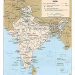 Political map of India 1996
 India china border western sector 1980
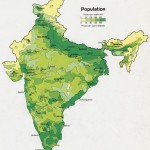 Population map of India 1973
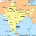 India city scale map
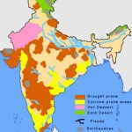 India natural hazards map
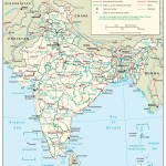 The india map
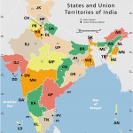 India states by rto codes map
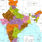 India regions citys map
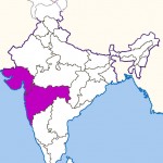 West India map

