Bombay Map Tactical Pilotage Chart
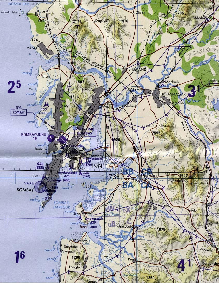
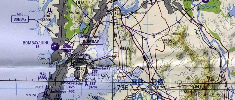
Bombay Map Tactical Pilotage Chart
 Delhi and Agra Operational Navigation Chart
 Bombay India historical map 1954 City Plan
 Bombay North 1954 Topographic Map
 Bombay India historical map 1909
 Bombay South 1954 Topographic Map
 India historical map 1700 1792 from The Historical Atlas
 Political map of India 1996
 Physical features of India map
 Indian railways map
 India map bbsr direct train full
 Rivers and lakes India map
 Map of relief India
 Map of India airport city states
 India airports and seaports map
 Historical map of India in 1760
 Airports and seaports map
 Historical maps India in 1804
 Historic maps british India
 India historical map
 India satellite map
 Blank colored India map
 Rivers India map
 West India map
 Religions map of India 1987
 Map extreme points of India
 Shared relief map of India 1979
 India districts map
 Railway network map
 South India regions map
 Large city population density India map
 South asia local India map
 India physical map
 Indien bundesstaaten und unionsterritorien map
 India rajasthan locator map
 India historical map 1760 from The Public Schools Historical Atlas