indien-bundesstaaten-und-unionsterritorien-map
India Maps
 India districts map
 India pakistan physical map
 Small map of india
 Bombay India historical map 1954 City Plan
 Historical map of India in 1760
 India regions citys map
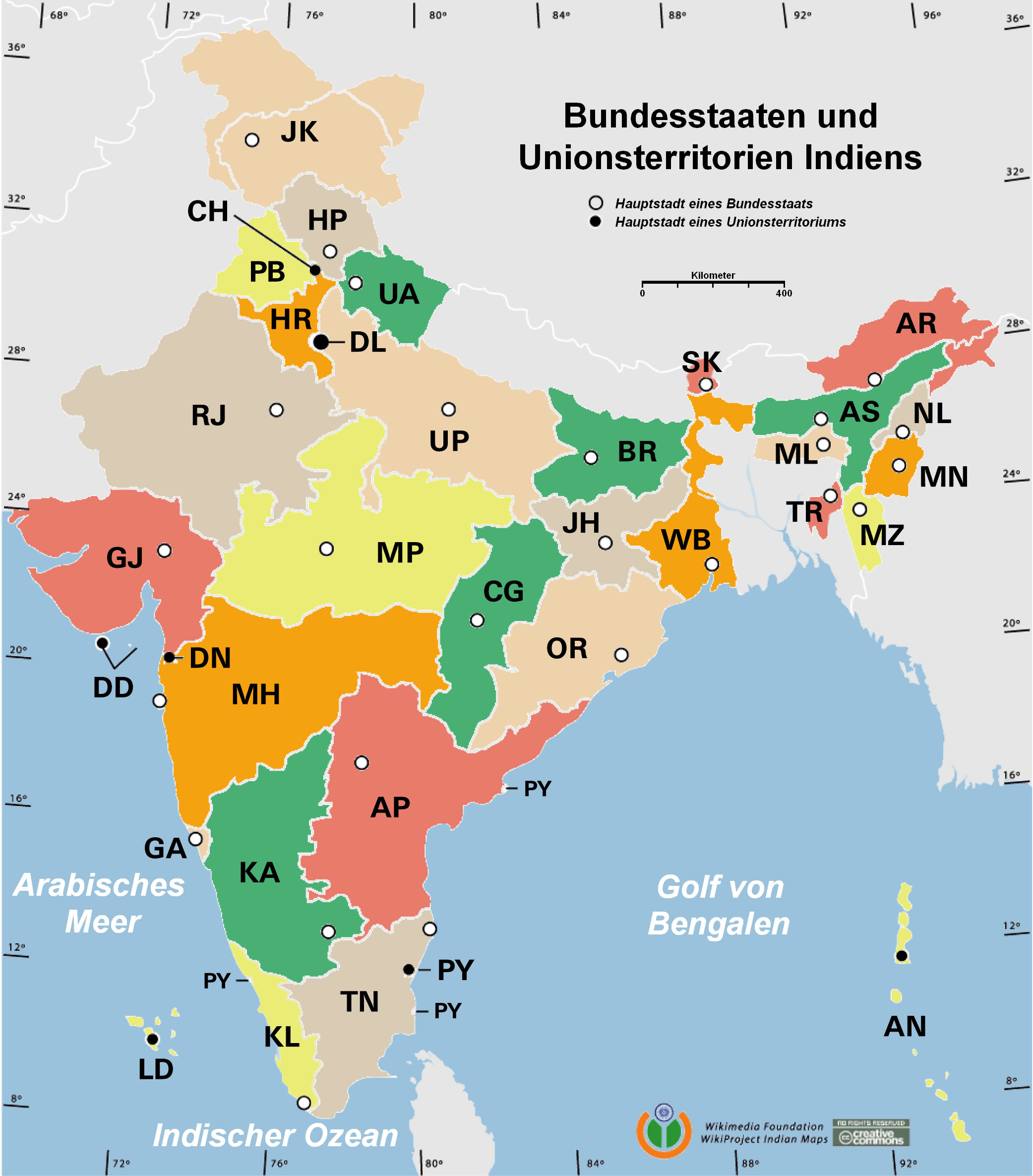
 Indien bundesstaaten und unionsterritorien map
 Railway network schematic map
 Political map of India 1996
 Rivers map of India
 India climatic zone map
 State and union territories India map
 India topogaphy
 Bombay India historical map 1909
 Delhi and Agra Operational Navigation Chart
 India airports and seaports map
 Airports and seaports map
 Political map of India 2001
 Location of Delhi
 India energy map 1997
 India historical map 1760 from The Public Schools Historical Atlas
 Alphabetisierungsrate indien karte
 India states numbered map
 india wfb map
 India geology zones
 India South asia Map
 Wikipedia oldmysore India map
 Bombay Map Tactical Pilotage Chart
 India small map
 India historical map 1882, Commerce and Commercial Navigation
 India railway schematic map
 India citys map
 South India regions map
 Map India
 India languages map