indien-bundesstaaten-und-unionsterritorien-map
India Maps
 Rivers map of India
 India districts map
 State and union territories India map
 India geology zones
 India climatic zone map
 India physical map
 Political map of India 2001
 India stats map
 India map bbsr direct train full
 Bombay North 1954 Topographic Map
 Cultural regional areas of india map
 India historical map 1700 1792 from The Historical Atlas
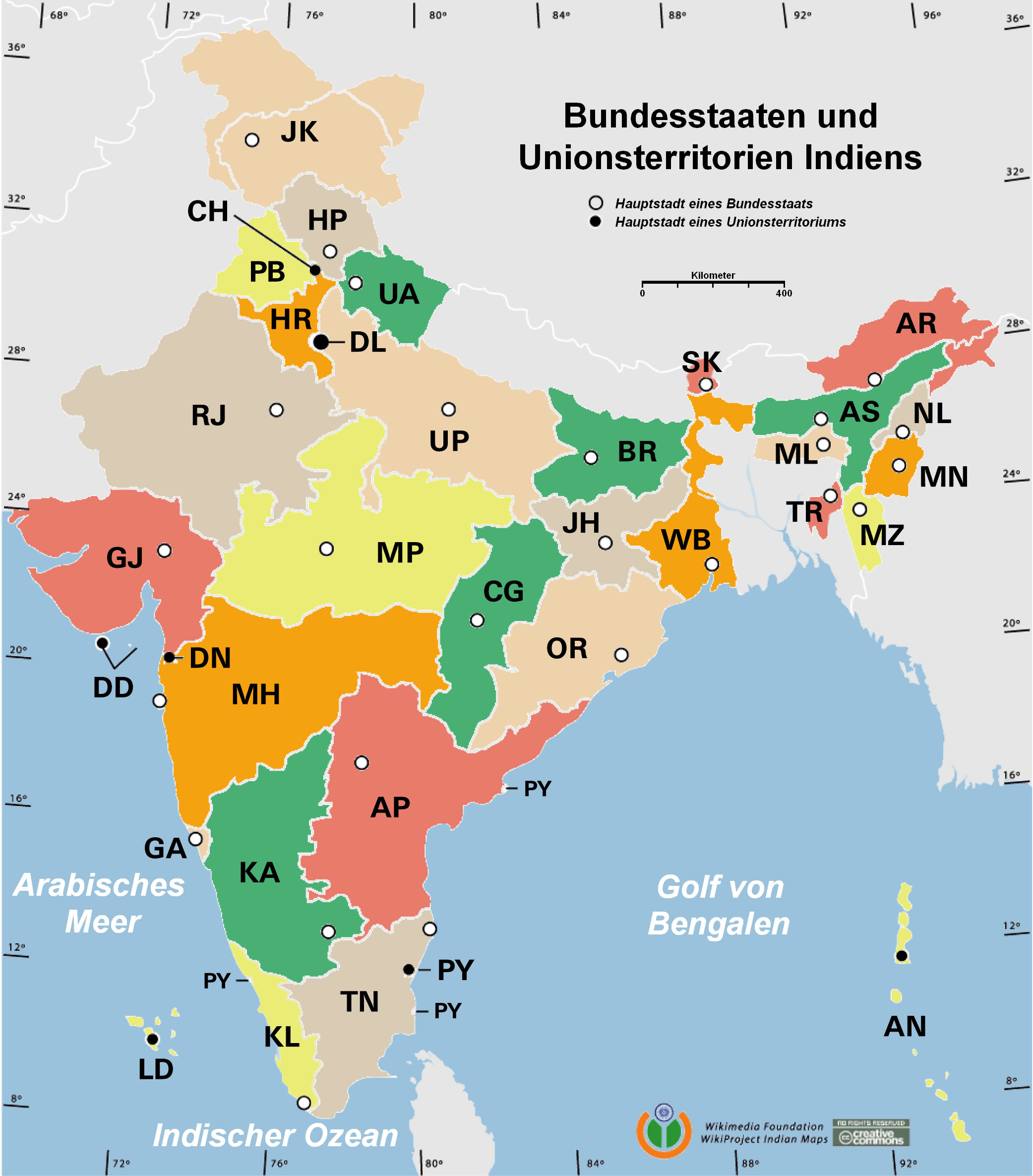
 Indien bundesstaaten und unionsterritorien map
 Airports and seaports map
 India tourist map
 India geology map
 India citys map
 Rivers India map
 Damao Daman 1954 Topographic India Map
 Physical features of India map
 India map
 India map 1760
 Population map of India 1973
 India rajasthan locator map
 Wikipedia oldmysore India map
 India physio map 2001
 Bombay India historical map 1954 City Plan
 Historic maps british India
 Historical map of India in 1760
 Map extreme points of India
 India satellite map
 Karte indien bundesstaaten unionsterritorien
 Indian railways map
 Bhuj Anjar Area Gujarat Topographic Map 1955
 Indien map 2006