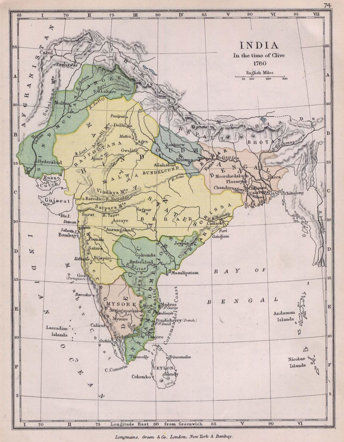
india-historical-map-1760-from-The-Public-Schools-Historical-Atlas
India Maps
 Language travel from India map
 Map of relief India
 India
India Population map of India 1973
 India national roads map
 Political map of India 1996
 Bhuj Anjar Area Gujarat Topographic Map 1955
 India historical map 1882, Commerce and Commercial Navigation
 India ter map
 Relief map of India 1996
 Religions map of India 1987
 State and union territories India map
 Airports and seaports map
 Indian railways map
 Distribution of christians in Indian states map
 India calcutta map
 Topographic India map
 Rivers and lakes India map
 Rivers map of India
 South asia local langage map
 India states numbered map
 India topographic blank map
 Map of india
 Delhi Location
 India historical map mogul
 Crop areas map of india 1973
 India airports and seaports map
 India china border western sector 1980
 Bombay Map Tactical Pilotage Chart
 India map
 India pakistan physical map
 India Transportation map
 Map extreme points of India
 India rajasthan locator map
 Relief of India