south-asia-local-india-map
India Maps
 Wikipedia oldmysore India map
 Delhi and Vicinity histrotical map 1962 City Plan
 India calcutta map
 Topographic India map
 India districts map
 India comptoirs map
 India china border western sector 1980
 Languages and religions map of India 1973
 Map of relief India
 India physio map 2001
 Distribution of christians in Indian states map
 india wfb map
 India citys map
 Bombay India historical map 1954 City Plan
 India city scale map
 China India border eastern sector 1988
 India relief map
 Historic maps british India
 India ter map
 India states numbered map
 Where India located
 Language travel from India map
 Rivers India map
 India historical map mogul
 India geology zones
 Map extreme points of India
 India numbered stats
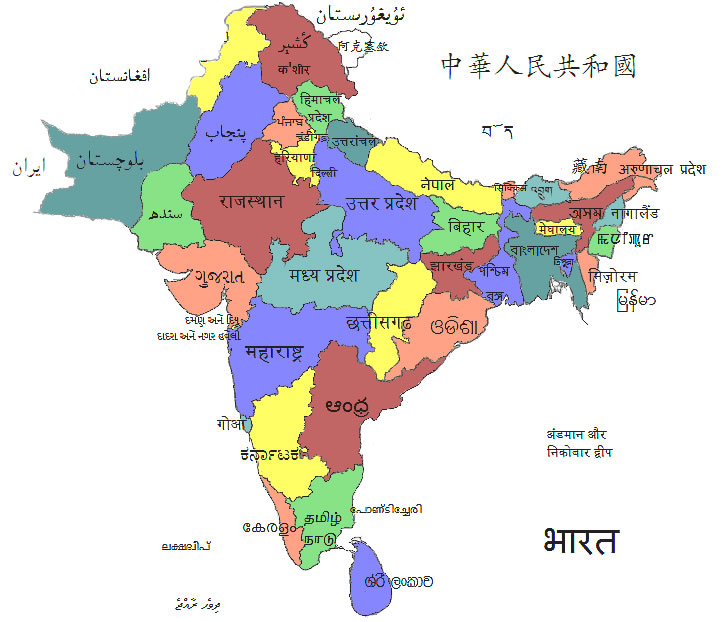
 State and union territories India map
 India physical
 India map bbsr direct train full
 Crop areas map of india 1973
 India national roads map
 Rivers and lakes topographic map
 India energy map 1997
 Bombay South 1954 Topographic Map