india-states-by-rto-codes-map
India Maps
 Delhi and Vicinity histrotical map 1962 City Plan
 India railway schematic map
 India
India Bombay India historical map 1909
 Indien map 2006
 Damao Daman 1954 Topographic India Map
 Airports and seaports map
 China India border western sector 1988
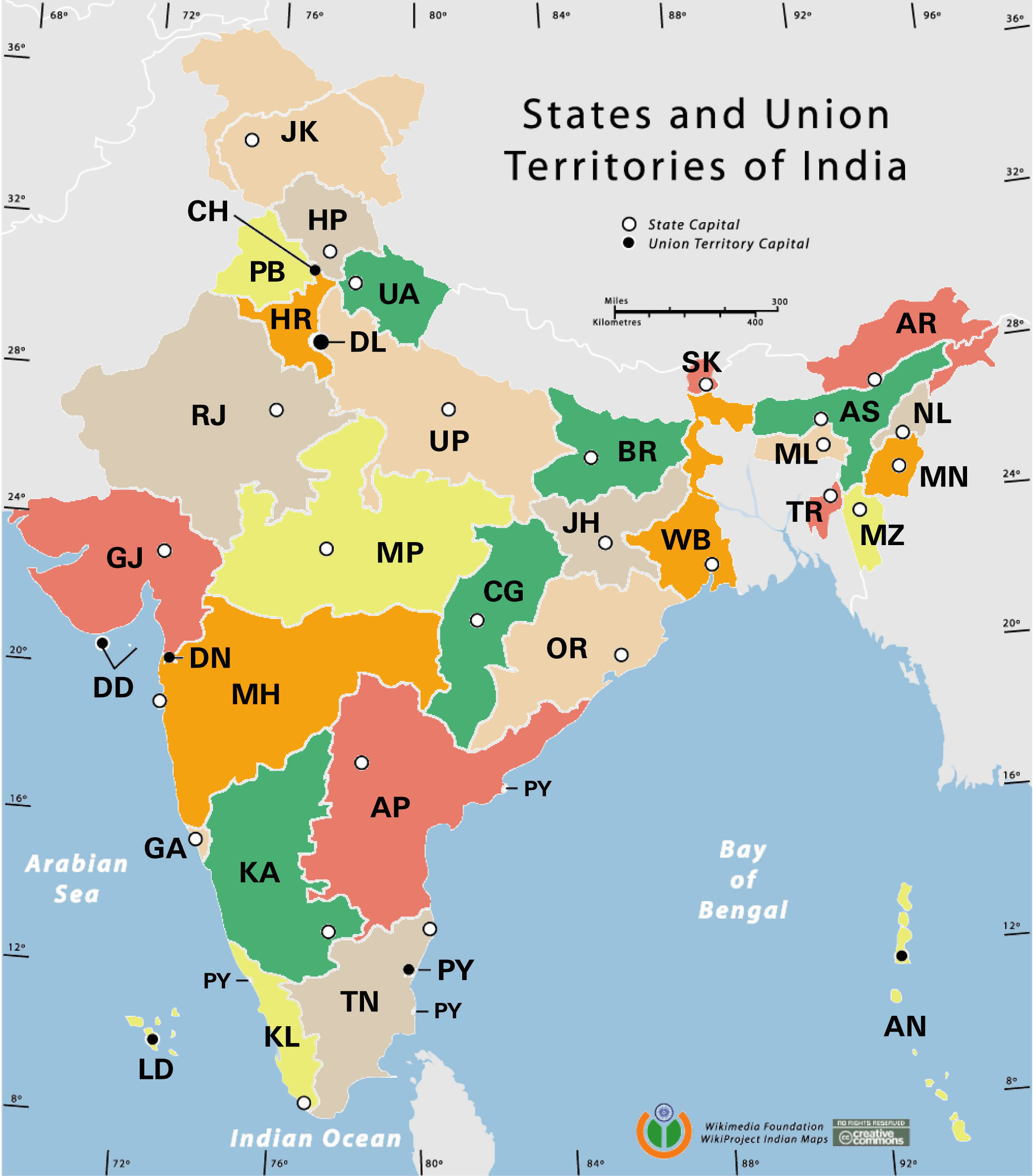
 State and union territories India map
 India South asia Map
 India disputed areas map
 Distribution of christians in Indian states map
 Location of Delhi
 The india map
 Shared relief map of India 1979
 India location world map
 India map bbsr direct train full
 India national roads map
 Population density India map
 India geological regions map
 Map of India airport city states
 India flag
 Cultural regional areas of india map
 Railway network schematic map
 India map
 Population map of India 1973
 Relief of India
 India tourist map
 India pakistan physical map
 India locator map blank
 India geology map
 Bhuj Anjar Area Gujarat Topographic Map 1955
 India natural hazards map
 India comptoirs map
 India physical map