distribution-of-christians-in-indian-states-map
India Maps
 Rivers and lakes India map
 Indian railways map
 Historic maps british India
 India comptoirs map
 India flag map
 Delhi Location
 Map of India airport city states
 India rajasthan locator map
 India geological regions map
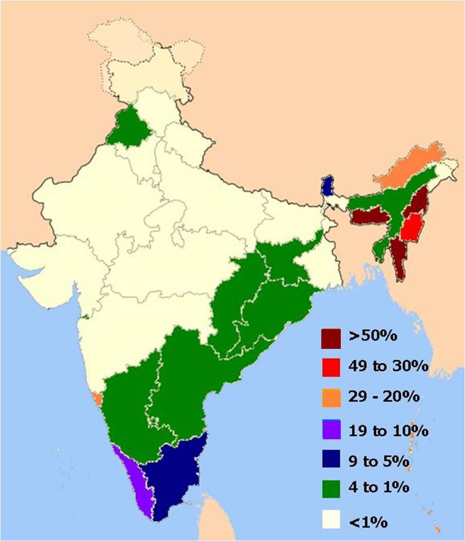
 Distribution of christians in Indian states map
 India
India Cultural regional areas of india map
 Shared relief map of India 1979
 Bombay India historical map 1909
 India locator map blank
 India states by rto codes map
 Blank colored India map
 Alphabetisierungsrate indien karte
 Wikipedia oldmysore India map
 Damao Daman 1954 Topographic India Map
 India climatic zone map
 Map of india
 Karte indien bundesstaaten unionsterritorien
 Historical map India
 India districts map
 India historical map 1882, Commerce and Commercial Navigation
 Population map of India 1973
 Bombay Map Tactical Pilotage Chart
 India flag
 Delhi and Agra Operational Navigation Chart
 India physical map
 Topographic India map
 Airports and seaports map
 India South asia Map
 India location world map