India-regions-citys-map
India Maps
 India states by rto codes map
 India stats map
 Map India
 Delhi and Vicinity histrotical map 1962 City Plan
 Bombay India historical map 1909
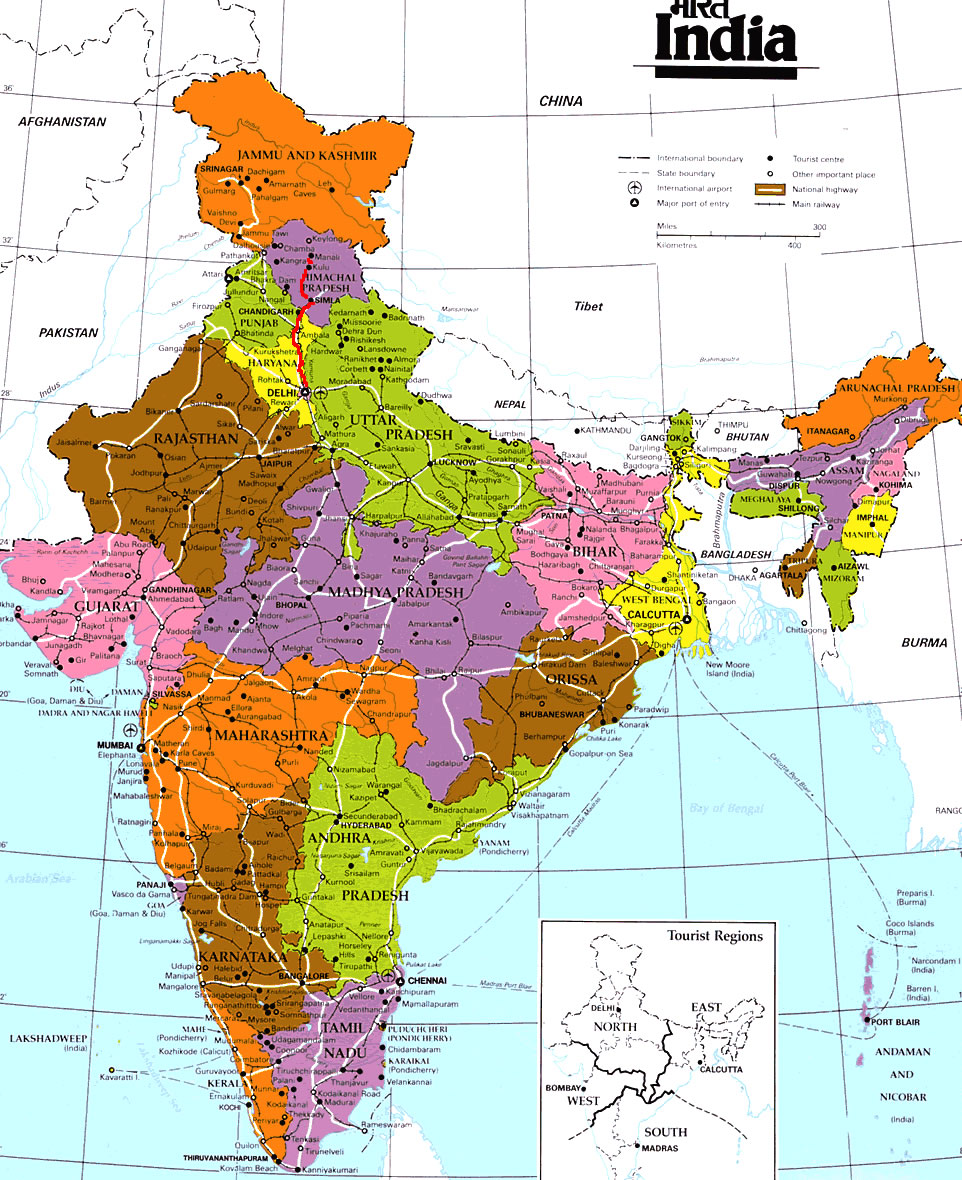
 India tourist map
 Blank colored India map
 Map of relief India
 Language travel from India map
 Delhi Location
 India national roads map
 Karte indien bundesstaaten unionsterritorien
 Airports and seaports map
 West India map
 India energy map 1997
 India historical map 1882, Commerce and Commercial Navigation
 Location of Delhi
 The india map
 Cultural regional areas of india map
 India map 1760
 Historical map of India in 1760
 India relief map
 Delhi and Agra Operational Navigation Chart
 India historical map mogul
 India pakistan physical map
 Alphabetisierungsrate indien karte
 India physical
 Railway network map
 Indian railways map
 Bombay North 1954 Topographic Map
 States and union territories of India
 India ter map
 Historic maps british India
 Wikipedia oldmysore India map
 Calcutta map 1945 City Plan