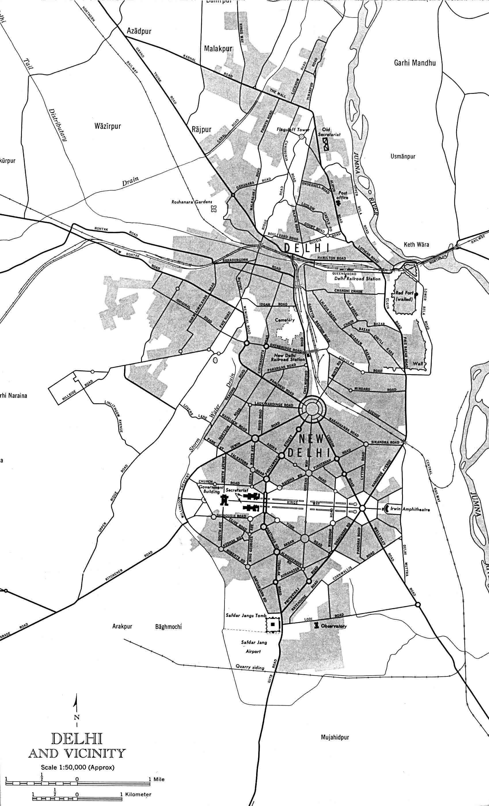
Delhi-and-Vicinity-histrotical-map-1962-City-Plan
India Maps
 India calcutta map
 Delhi and Agra Operational Navigation Chart
 Rivers map of India
 india wfb map
 Where India located
 Distribution of christians in Indian states map
 Religions map of India 1987
 South asia India satellite map
 China India border western sector 1988
 Wikipedia oldmysore India map
 India city scale map
 Damao Daman 1954 Topographic India Map
 Calcutta map 1945 City Plan
 Bombay Map Tactical Pilotage Chart
 Karte indien bundesstaaten unionsterritorien
 Indian railways map
 India districts map
 India states numbered map
 India numbered stats
 Indien bundesstaaten und unionsterritorien map
 Small map of india
 Location of Delhi
 India comptoirs map
 India historical map mogul
 South asia local India map
 India airports and seaports map
 India physical
 Bombay North 1954 Topographic Map
 India map 1760
 Alphabetisierungsrate indien karte
 Historical map India
 India
India Crop areas map of india 1973
 Rivers and lakes topographic map
 India rajasthan locator map