Rivers-and-lakes-topographic-map
India Maps
 Languages and religions map of India 1973
 Bombay North 1954 Topographic Map
 Damao Daman 1954 Topographic India Map
 India locator map blank
 Historical map India
 Indien map 2006
 India Transportation map
 Map India
 Relief map of India 1996
 South India regions map
 India stats map
 India physio map 2001
 India topogaphy
 Map of india
 India South asia Map
 India disputed areas map
 Language travel from India map
 India calcutta map
 South asia India satellite map
 India geology map
 Bombay India historical map 1909
 India city scale map
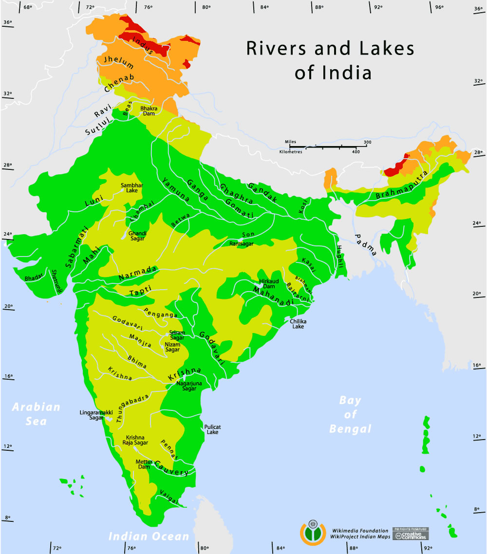
 Rivers and lakes topographic map
 Delhi and Agra Operational Navigation Chart
 India flag
 Map of India airport city states
 India pakistan physical map
 Rivers and lakes India map
 India historical map 1700 1792 from The Historical Atlas
 Distribution of christians in Indian states map
 India regions citys map
 Delhi Location
 Shared relief map of India 1979
 Karte indien bundesstaaten unionsterritorien
 Railway network schematic map