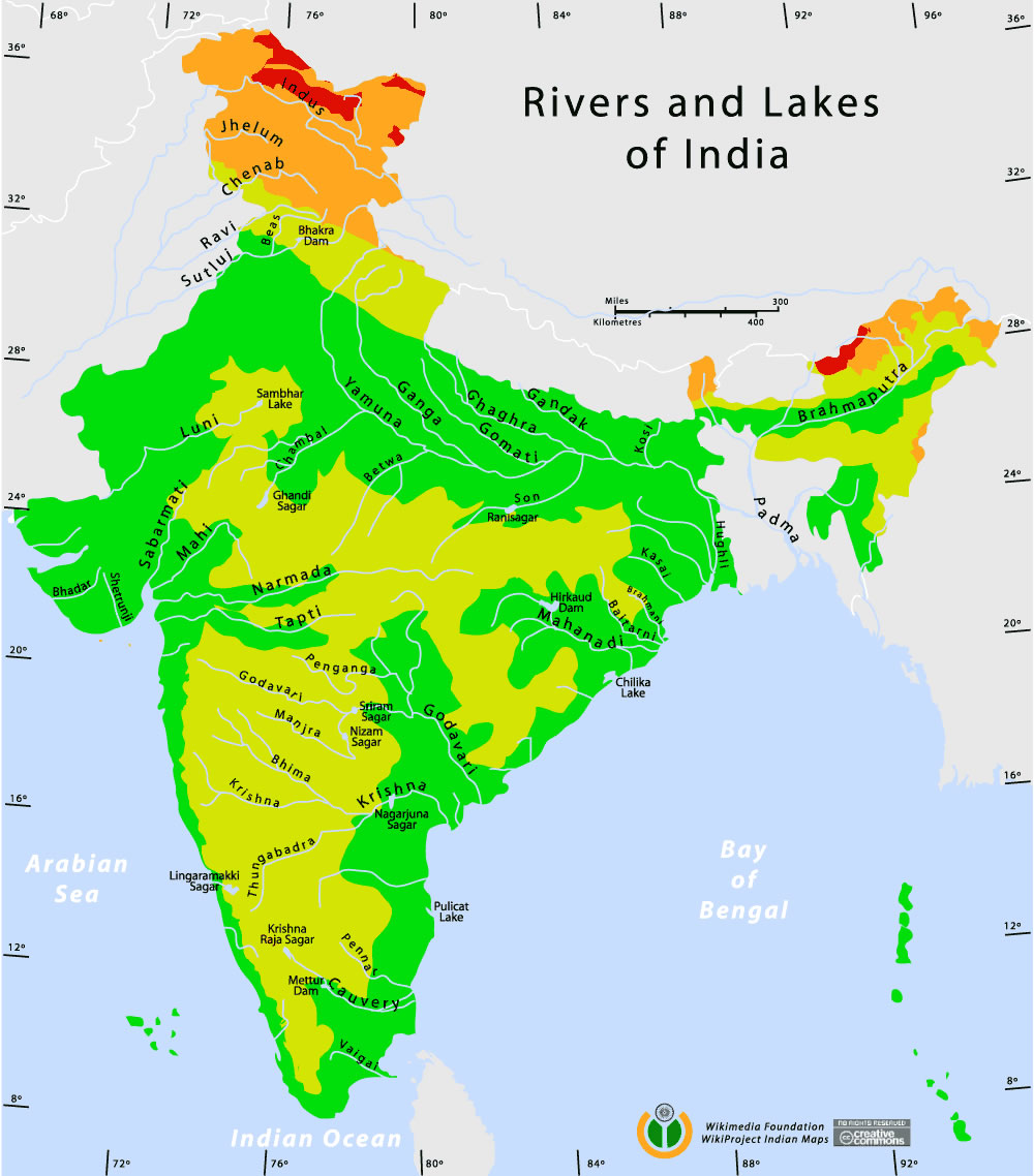
Rivers-and-lakes-topographic-map
India Maps
 China India border eastern sector 1988
 Railway network schematic map
 Railway network map
 Religions map of India 1987
 India geology map
 India climatic zone map
 Indian railways map
 Political map of India 1996
 India historical map 1760 from The Public Schools Historical Atlas
 Map India
 India city scale map
 Map of India airport city states
 India relief map
 India energy map 1997
 India china border western sector 1980
 Historical map of India 1809
 India South asia Map
 India rajasthan locator map
 Historical maps India in 1804
 Distribution of christians in Indian states map
 South India regions map
 Calcutta map 1945 City Plan
 Wikipedia oldmysore India map
 Historic maps british India
 Bombay North 1954 Topographic Map
 India
India Bombay Map Tactical Pilotage Chart
 Map of relief India
 Historical map of India in 1760
 India states by rto codes map
 India historical map 1700 1792 from The Historical Atlas
 Bombay India historical map 1954 City Plan
 Crop areas map of india 1973
 Alphabetisierungsrate indien karte
 India regions citys map