indien-map-2006
India Maps
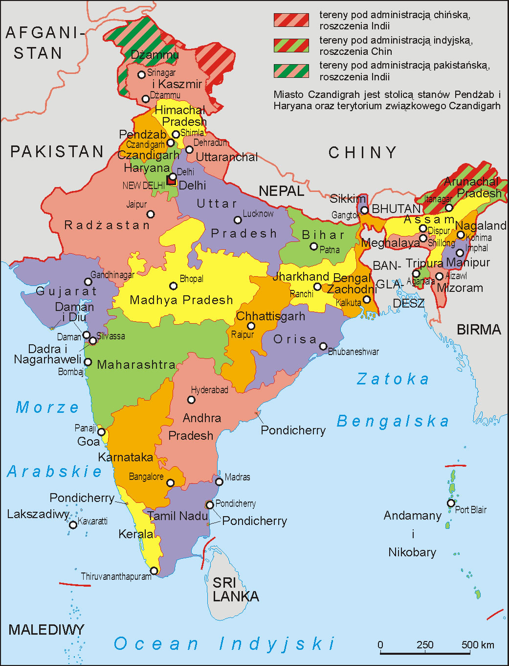
 States and union territories of India
 Bombay North 1954 Topographic Map
 India railway schematic map
 India historical map mogul
 India
India India pakistan physical map
 South India regions map
 India physical
 India satellite map
 India Transportation map
 Political map of India 2001
 Delhi Location
 Population map of India 1973
 Bhuj Anjar Area Gujarat Topographic Map 1955
 India physical map
 Topographic India map
 Bombay South 1954 Topographic Map
 The india map
 India regions citys map
 India rajasthan locator map
 West India map
 Delhi and Agra Operational Navigation Chart
 India small map
 Small map of india
 Languages and religions map of India 1973
 Map of india
 State and union territories India map
 South asia India satellite map
 India energy map 1997
 Delhi and Vicinity histrotical map 1962 City Plan
 South asia local India map
 Historic maps british India
 Wikipedia oldmysore India map
 India china border western sector 1980
 India stats map