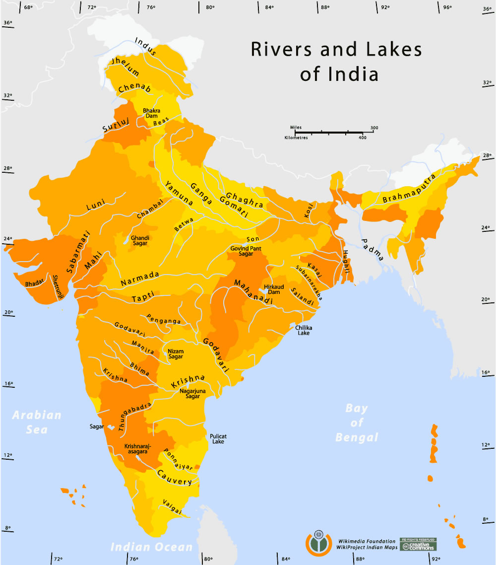
Rivers-and-lakes-india-map
India Maps
 India relief map
 Bhuj Anjar Area Gujarat Topographic Map 1955
 Rivers and lakes India map
 Bombay Map Tactical Pilotage Chart
 Topographic India map
 India physical
 Indien map 2006
 India flag map
 India states by rto codes map
 Population map of India 1973
 Small map of india
 Population density India map
 State and union territories India map
 India national roads map
 India calcutta map
 India energy map 1997
 Bombay India historical map 1954 City Plan
 Language travel from India map
 Delhi and Vicinity histrotical map 1962 City Plan
 India city scale map
 India physical map
 India satellite map
 Blank colored India map
 India
India South India regions map
 Historic maps british India
 Karte indien bundesstaaten unionsterritorien
 Large city population density India map
 Bombay North 1954 Topographic Map
 Delhi and Agra Operational Navigation Chart
 Historical map of India in 1760
 Airports and seaports map
 India historical map
 India railway schematic map
 India physio map 2001