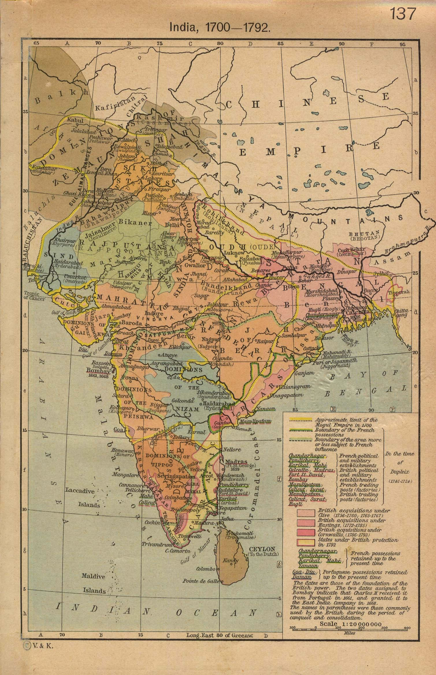
india-historical-map-1700-1792-from-The-Historical-Atlas
India Maps
 Damao Daman 1954 Topographic India Map
 Historic maps british India
 India tourist map
 West India map
 Political map of India 2001
 Bombay India historical map 1909
 India states numbered map
 China India border eastern sector 1988
 India South asia Map
 Where India located
 India geological regions map
 India map 1760
 India
India Languages and religions map of India 1973
 India comptoirs map
 India historical map mogul
 India citys map
 India location world map
 Topographic India map
 Railway network schematic map
 Calcutta map 1945 City Plan
 India relief map
 Rivers India map
 Location of Delhi
 Population density India map
 India districts map
 Delhi Location
 India map bbsr direct train full
 India flag map
 India flag
 India china border western sector 1980
 india wfb map
 India climatic zone map
 Small map of india
 India physio map 2001