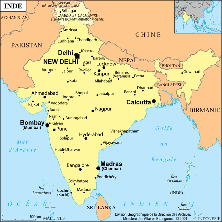
india-city-scale-map
India Maps
 Damao Daman 1954 Topographic India Map
 Rivers and lakes India map
 Physical features of India map
 Airports and seaports map
 Cultural regional areas of india map
 India national roads map
 Small map of india
 india wfb map
 India historical map 1882, Commerce and Commercial Navigation
 India flag
 Historical map India
 India states by rto codes map
 Rivers and lakes topographic map
 Blank colored India map
 Historical map of India 1809
 South asia local India map
 Historical maps India in 1804
 Religions map of India 1987
 Bombay India historical map 1954 City Plan
 Indian railways map
 India china border western sector 1980
 Map of India airport city states
 Relief of India
 South asia local langage map
 Indien bundesstaaten und unionsterritorien map
 Location of Delhi
 India map 1760
 India states numbered map
 India topogaphy
 India satellite map
 India physical map
 Crop areas map of india 1973
 India geology map
 Population density India map
 Alphabetisierungsrate indien karte