india-historical-map-1700-1792-from-The-Historical-Atlas
India Maps
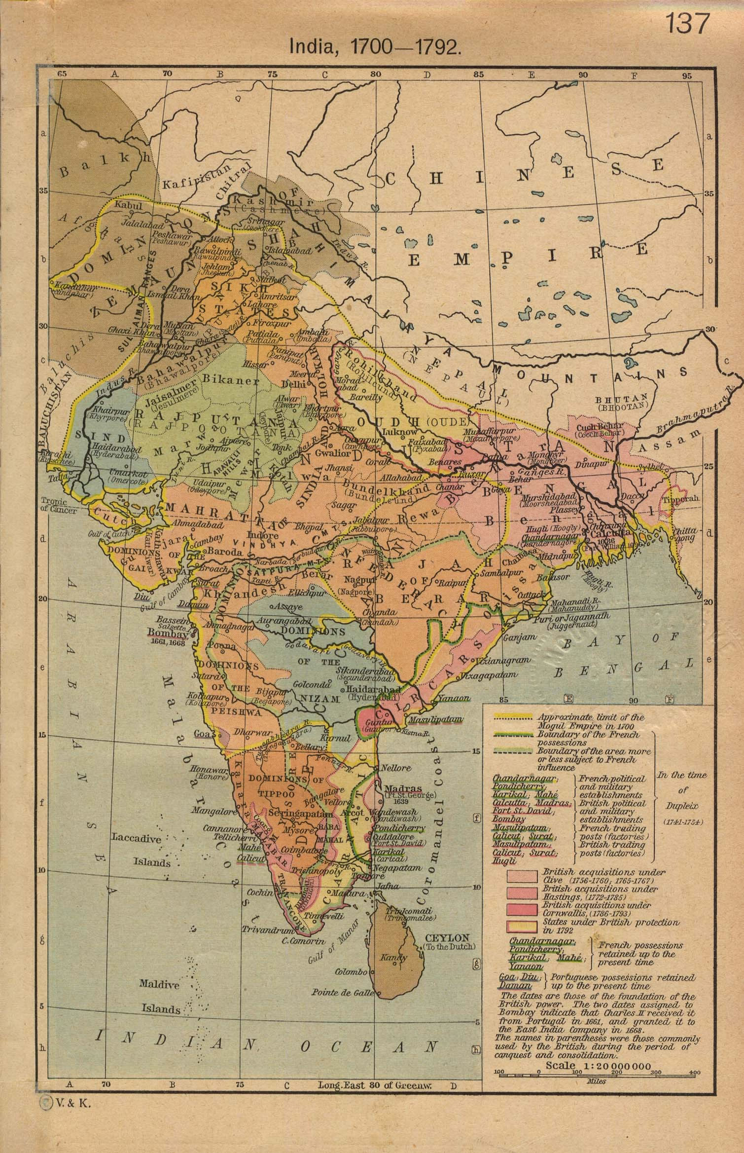
 India historical map mogul
 India locator map blank
 Language travel from India map
 India districts map
 India flag map
 India map
 India satellite map
 India small map
 India geological regions map
 Where India located
 India climatic zone map
 Calcutta map 1945 City Plan
 India geographical map
 Map of India airport city states
 Bombay Map Tactical Pilotage Chart
 Crop areas map of india 1973
 India pakistan physical map
 India city scale map
 India disputed areas map
 Bombay North 1954 Topographic Map
 Political map of India 2001
 Map of india
 South India regions map
 India geology zones
 Shared relief map of India 1979
 The india map
 South asia India satellite map
 India regions citys map
 India tourist map
 India states numbered map
 Map of relief India
 Religions map of India 1987
 Airports and seaports map
 India
India India Transportation map