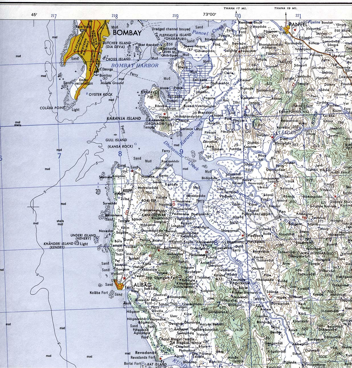
Bombay-South-1954-Topographic-Map
India Maps
 Topographic India map
 Map of india
 Wikipedia oldmysore India map
 Map of relief India
 India topographic blank map
 Bombay India historical map 1909
 Indien map 2006
 Relief of India
 India location world map
 Delhi Location
 India map
 India flag map
 Population density India map
 Map of India airport city states
 India locator map blank
 China India border eastern sector 1988
 India
India Language travel from India map
 India ter map
 Political map of India 1996
 Bombay Map Tactical Pilotage Chart
 Delhi and Vicinity histrotical map 1962 City Plan
 Rivers and lakes topographic map
 South asia local India map
 India physical map
 India railway schematic map
 India geology map
 Karte indien bundesstaaten unionsterritorien
 India flag
 Historical map of India 1809
 Bombay India historical map 1954 City Plan
 Rivers and lakes India map
 India languages map
 India stats map
 Physical features of India map