map-of-india-airport-city-states
India Maps
 India regions citys map
 Crop areas map of india 1973
 Map of India airport city states
 India languages map
 South asia local langage map
 Historical map India 1808
 Population density India map
 Indian railways map
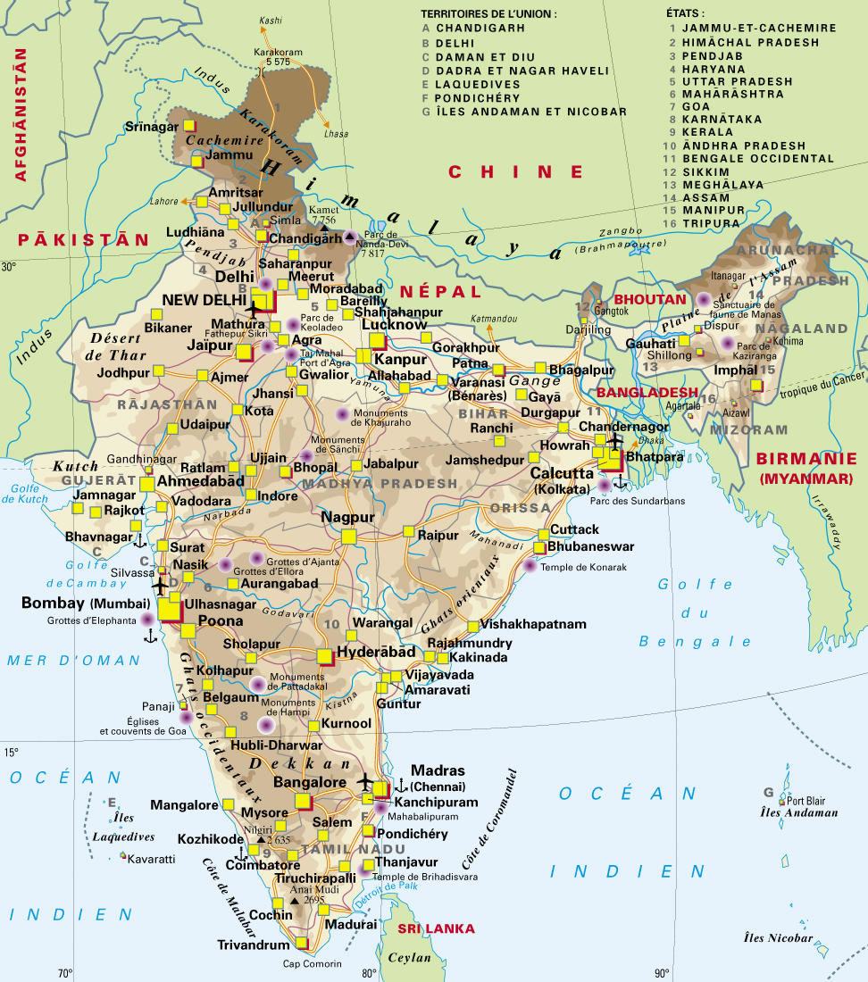
 India states numbered map
 Indien map 2006
 India flag
 Historical maps India in 1804
 India geographical map
 Historical map India
 India city scale map
 Delhi Location
 Delhi and Vicinity histrotical map 1962 City Plan
 Map India
 West India map
 India states by rto codes map
 India map bbsr direct train full
 South asia India satellite map
 India map
 India rajasthan locator map
 Political map of India 2001
 Damao Daman 1954 Topographic India Map
 Bombay South 1954 Topographic Map
 Rivers India map
 State and union territories India map
 India topogaphy
 Bombay India historical map 1954 City Plan
 Map extreme points of India
 India stats map
 India historical map 1760 from The Public Schools Historical Atlas
 India South asia Map