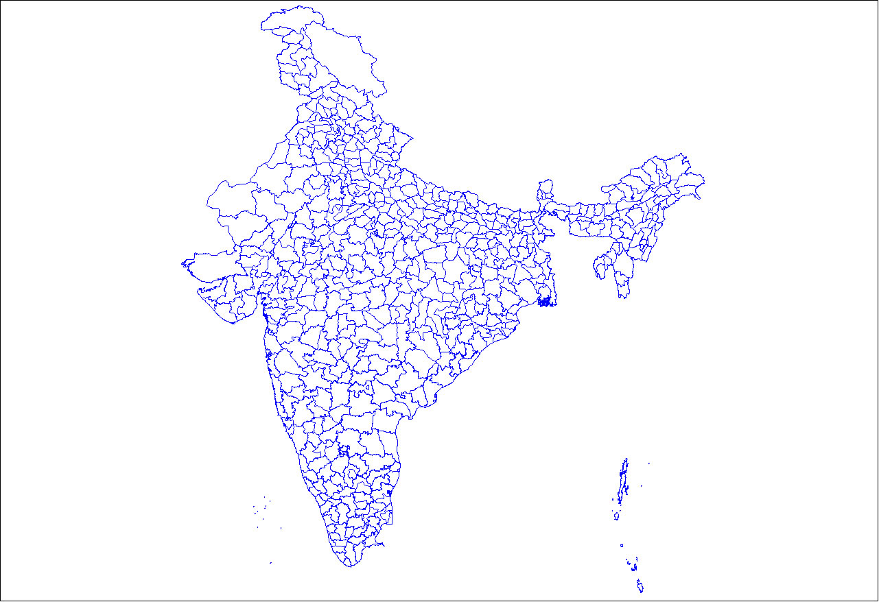
india-districts-map
India Maps
 Railway network schematic map
 India satellite map
 India railway schematic map
 Bombay North 1954 Topographic Map
 South asia India satellite map
 Historical map of India in 1760
 Physical features of India map
 India states by rto codes map
 India states numbered map
 Population map of India 1973
 South India regions map
 Crop areas map of india 1973
 India historical map 1882, Commerce and Commercial Navigation
 India rajasthan locator map
 Map of India airport city states
 West India map
 Political map of India 1996
 State and union territories India map
 India topographic blank map
 India geographical map
 Bombay India historical map 1909
 South asia local India map
 Delhi and Vicinity histrotical map 1962 City Plan
 India small map
 India national roads map
 Damao Daman 1954 Topographic India Map
 Political map of India 2001
 Map of relief India
 Bombay India historical map 1954 City Plan
 Historical map India 1808
 India map 1760
 India
India Alphabetisierungsrate indien karte
 India comptoirs map
 Rivers and lakes topographic map