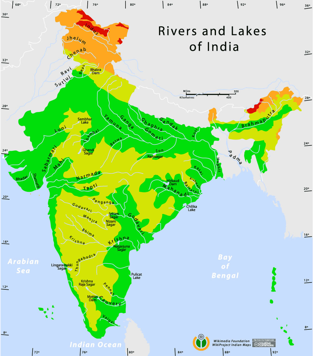
Rivers-and-lakes-topographic-map
India Maps
 India comptoirs map
 India languages map
 Map extreme points of India
 Topographic India map
 India city scale map
 State and union territories India map
 India states numbered map
 Bombay South 1954 Topographic Map
 Map India
 Historical map India 1808
 The india map
 Physical features of India map
 India small map
 Crop areas map of india 1973
 Alphabetisierungsrate indien karte
 India climatic zone map
 India calcutta map
 Indian railways map
 Blank colored India map
 India china border western sector 1980
 India Transportation map
 Map of India airport city states
 India topogaphy
 India physical
 India map
 Delhi and Agra Operational Navigation Chart
 Bombay Map Tactical Pilotage Chart
 India historical map mogul
 India historical map
 South asia local India map
 Calcutta map 1945 City Plan
 Cultural regional areas of india map
 Indien bundesstaaten und unionsterritorien map
 India regions citys map
 South asia India satellite map