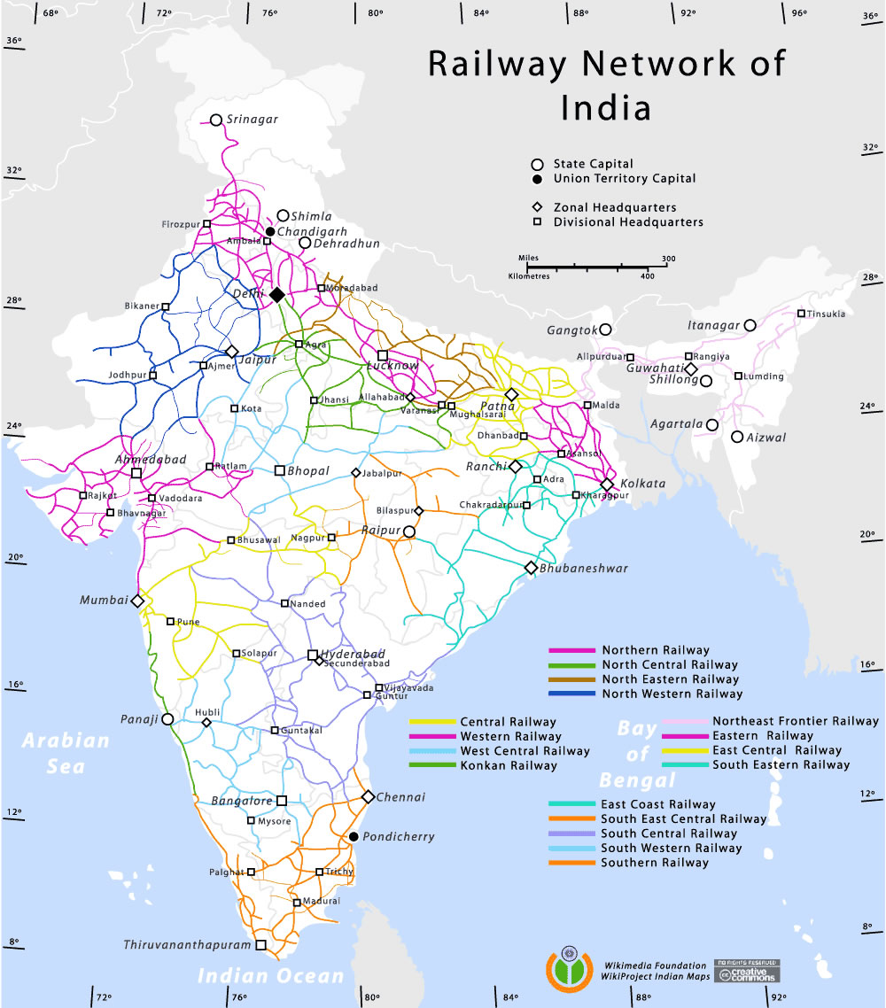
Railway-network-map
India Maps
 The india map
 India historical map 1760 from The Public Schools Historical Atlas
 India location world map
 India languages map
 Language travel from India map
 Bombay North 1954 Topographic Map
 India citys map
 Bombay India historical map 1954 City Plan
 Small map of india
 India small map
 India states numbered map
 India historical map mogul
 India stats map
 India map 1760
 Map India
 India china border western sector 1980
 Bombay India historical map 1909
 West India map
 Political map of India 1996
 Historical maps India in 1804
 India rajasthan locator map
 Shared relief map of India 1979
 India flag map
 States and union territories of India
 India energy map 1997
 India physical
 Rivers and lakes topographic map
 Bhuj Anjar Area Gujarat Topographic Map 1955
 India districts map
 Relief map of India 1996
 Relief of India
 State and union territories India map
 Rivers and lakes India map
 South asia local India map
 Where India located