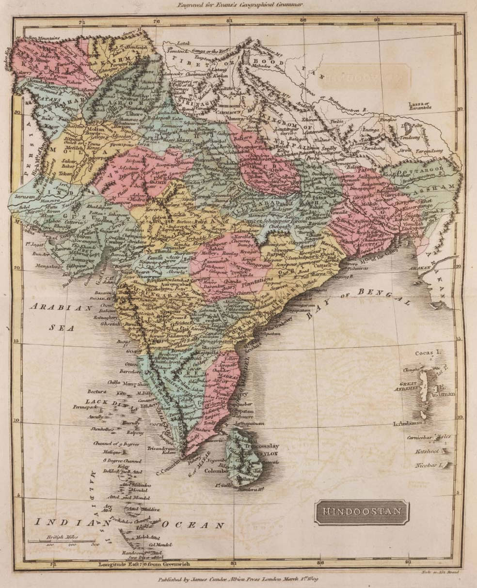
historical-map-of-india-1809
India Maps
 Blank colored India map
 Map extreme points of India
 India topogaphy
 Large city population density India map
 India stats map
 India small map
 India disputed areas map
 India geology zones
 Historic maps british India
 Airports and seaports map
 Rivers and lakes topographic map
 State and union territories India map
 India map bbsr direct train full
 Languages and religions map of India 1973
 Distribution of christians in Indian states map
 Topographic India map
 India historical map 1760 from The Public Schools Historical Atlas
 Indian railways map
 Map India
 India states by rto codes map
 India physical map
 Bombay India historical map 1909
 Rivers and lakes India map
 Population density India map
 India map 1760
 States and union territories of India
 Historical map of India in 1760
 India historical map mogul
 india wfb map
 Bhuj Anjar Area Gujarat Topographic Map 1955
 India map
 Location of Delhi
 Bombay Map Tactical Pilotage Chart
 Historical maps India in 1804
 Political map of India 2001