historical-map-of-india-in-1760
India Maps
 State and union territories India map
 India historical map 1760 from The Public Schools Historical Atlas
 India historical map 1882, Commerce and Commercial Navigation
 Indien bundesstaaten und unionsterritorien map
 South asia local India map
 Railway network schematic map
 Relief map of India 1996
 India states numbered map
 Map India
 India china border western sector 1980
 India numbered stats
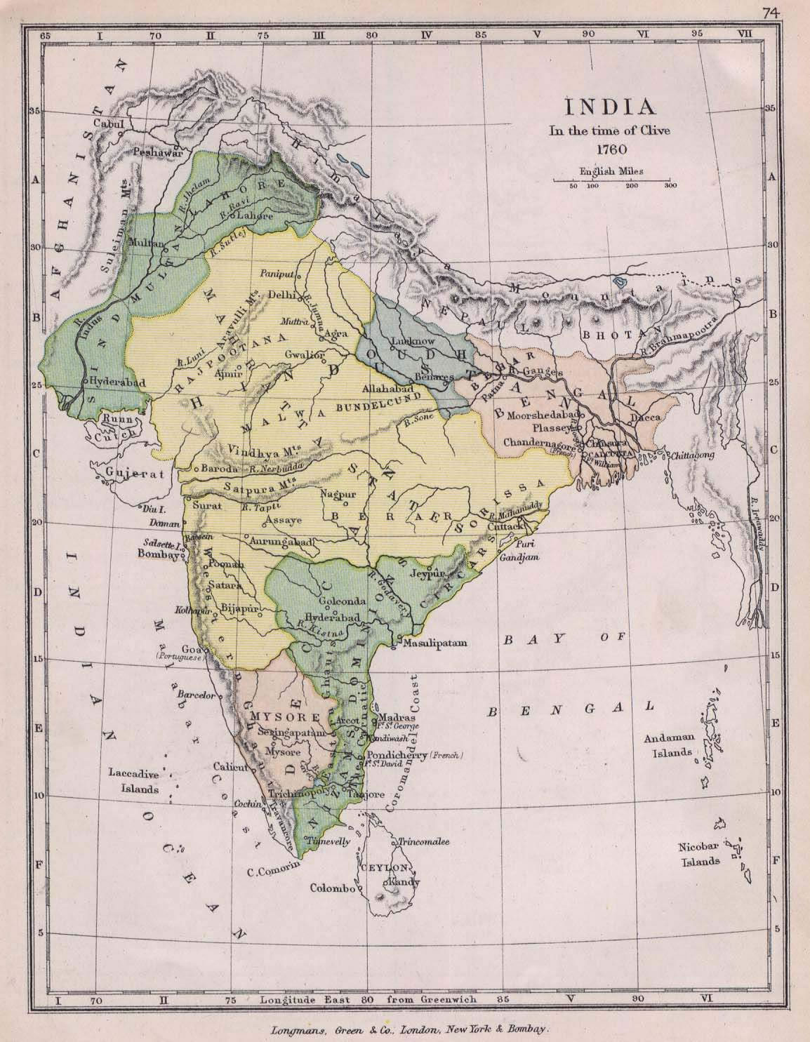
 Historical map of India in 1760
 India natural hazards map
 Bombay Map Tactical Pilotage Chart
 China India border eastern sector 1988
 India satellite map
 Topographic India map
 Bombay South 1954 Topographic Map
 India districts map
 India ter map
 India historical map
 India map 1760
 India historical map 1700 1792 from The Historical Atlas
 Map of India airport city states
 Damao Daman 1954 Topographic India Map
 Historical map India
 South asia India satellite map
 India
India West India map
 Population map of India 1973
 India topographic blank map
 India city scale map
 Historical map India 1808
 India national roads map
 India calcutta map