historical-map-of-india-in-1760
India Maps
 India states numbered map
 Location of Delhi
 India states by rto codes map
 West India map
 India South asia Map
 India rajasthan locator map
 India climatic zone map
 Bombay Map Tactical Pilotage Chart
 Population map of India 1973
 India natural hazards map
 Alphabetisierungsrate indien karte
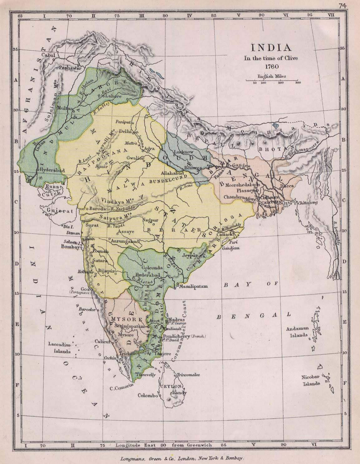
 Historical map of India in 1760
 Map India
 India historical map 1700 1792 from The Historical Atlas
 Delhi and Vicinity histrotical map 1962 City Plan
 India citys map
 India Transportation map
 Rivers and lakes India map
 Rivers and lakes topographic map
 Calcutta map 1945 City Plan
 Indien map 2006
 India railway schematic map
 India city scale map
 India tourist map
 India pakistan physical map
 India locator map blank
 Crop areas map of india 1973
 India map
 Historical maps India in 1804
 India languages map
 India geological regions map
 Relief map of India 1996
 India location world map
 India flag
 India comptoirs map