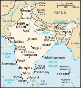
map-india
India Maps
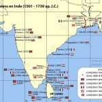 India comptoirs map
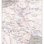 India china border western sector 1980
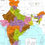 India regions citys map
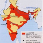 Large city population density India map
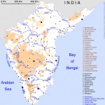 South India regions map
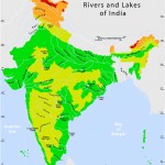 Rivers and lakes topographic map
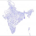 India districts map
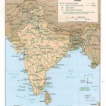 Relief map of India 1996
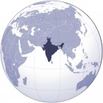 Where India located
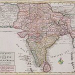 Historical map India
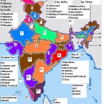 India ter map
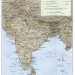 Map of relief India
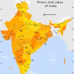 Rivers and lakes India map
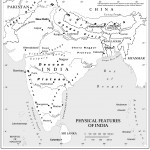 Physical features of India map
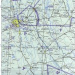 Delhi and Agra Operational Navigation Chart
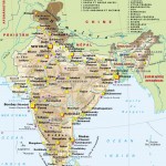 Map of India airport city states
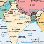 India citys map
 India locator map blank
 Topographic India map
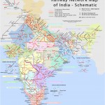 Railway network schematic map
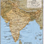 Shared relief map of India 1979
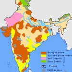 India natural hazards map
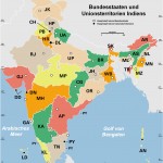 Indien bundesstaaten und unionsterritorien map
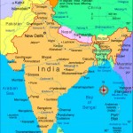 Rivers India map
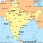 India city scale map
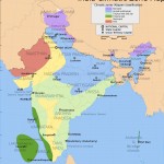 India climatic zone map
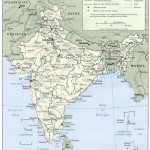 Political map of India 2001
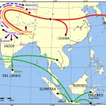 Language travel from India map
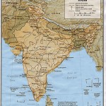 India
India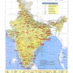 India map bbsr direct train full
 India flag map
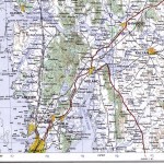 Bombay North 1954 Topographic Map
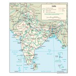 India Transportation map
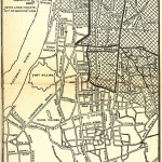 Calcutta map 1945 City Plan
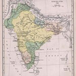 Historical map of India in 1760

