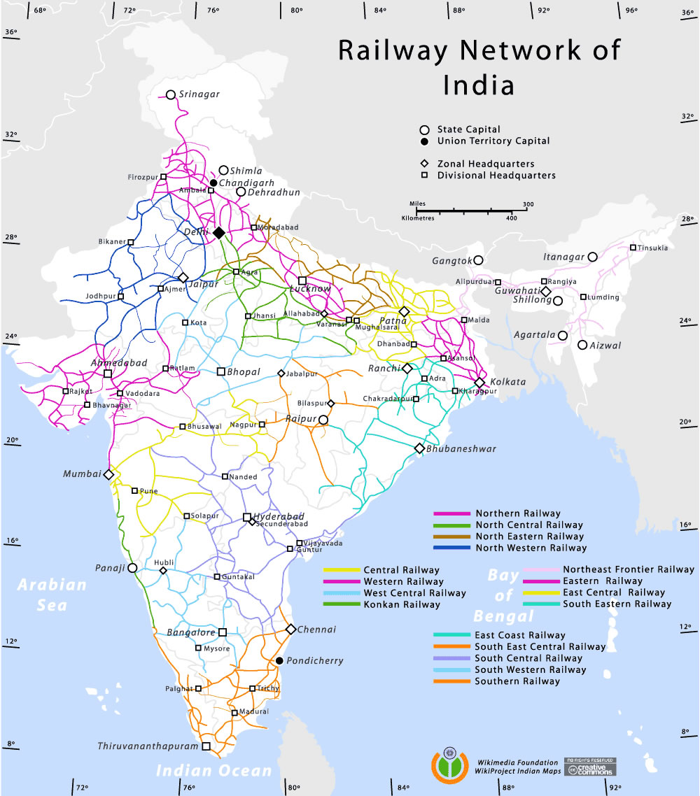
Railway-network-map
India Maps
 Languages and religions map of India 1973
 India historical map 1760 from The Public Schools Historical Atlas
 india wfb map
 Wikipedia oldmysore India map
 Indien bundesstaaten und unionsterritorien map
 Language travel from India map
 India ter map
 India historical map mogul
 Delhi Location
 India physical map
 Where India located
 South asia India satellite map
 India languages map
 India disputed areas map
 Bombay India historical map 1909
 India national roads map
 South asia local langage map
 Bhuj Anjar Area Gujarat Topographic Map 1955
 India geology map
 States and union territories of India
 Railway network schematic map
 China India border western sector 1988
 India geological regions map
 State and union territories India map
 India historical map 1882, Commerce and Commercial Navigation
 India natural hazards map
 Historical map India 1808
 India railway schematic map
 India map
 Distribution of christians in Indian states map
 India physio map 2001
 Alphabetisierungsrate indien karte
 Historical maps India in 1804
 Bombay South 1954 Topographic Map
 India states numbered map