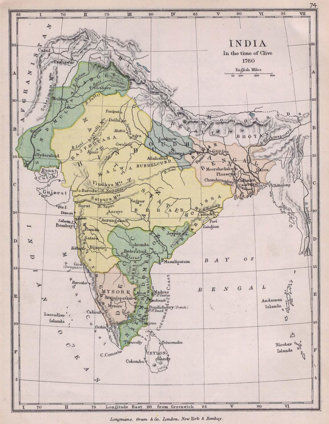
india-historical-map-1760-from-The-Public-Schools-Historical-Atlas
India Maps
 South asia India satellite map
 Indien map 2006
 Railway network schematic map
 Airports and seaports map
 India disputed areas map
 India historical map mogul
 India physio map 2001
 State and union territories India map
 Rivers India map
 India climatic zone map
 India railway schematic map
 India geology map
 Railway network map
 States and union territories of India
 Distribution of christians in Indian states map
 India location world map
 India districts map
 Map of India airport city states
 India historical map
 Blank colored India map
 Alphabetisierungsrate indien karte
 India topographic blank map
 Delhi and Vicinity histrotical map 1962 City Plan
 India
India India national roads map
 Rivers and lakes topographic map
 India relief map
 Historical maps India in 1804
 Calcutta map 1945 City Plan
 India ter map
 Physical features of India map
 Damao Daman 1954 Topographic India Map
 Delhi and Agra Operational Navigation Chart
 Map of relief India
 Historical map of India 1809