India-regions-citys-map
India Maps
 India disputed areas map
 India historical map 1882, Commerce and Commercial Navigation
 Delhi Location
 India historical map mogul
 Historical map of India 1809
 Historical map India 1808
 India satellite map
 Map of relief India
 India city scale map
 Location of Delhi
 Bombay India historical map 1954 City Plan
 Language travel from India map
 The india map
 Historical map India
 India climatic zone map
 Relief map of India 1996
 Small map of india
 India locator map blank
 India national roads map
 India topogaphy
 Railway network map
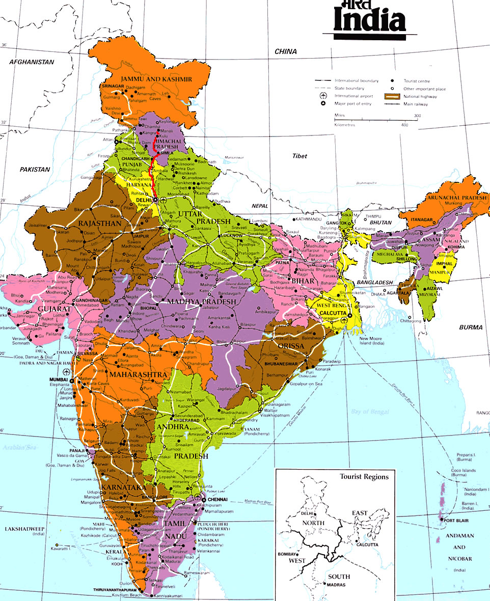
 India tourist map
 Population map of India 1973
 India physical
 India historical map 1700 1792 from The Historical Atlas
 India stats map
 West India map
 South asia local langage map
 South asia India satellite map
 Blank colored India map
 Delhi and Vicinity histrotical map 1962 City Plan
 India location world map
 Rivers and lakes India map
 Karte indien bundesstaaten unionsterritorien
 Political map of India 2001