Calcutta-map-1945-City-Plan
India Maps
 Blank colored India map
 Where India located
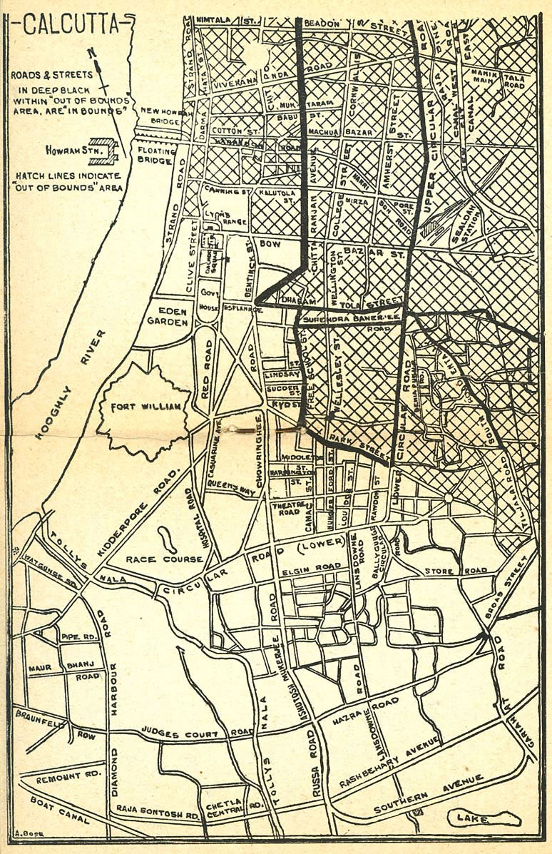
 Calcutta map 1945 City Plan
 South asia local langage map
 Historical map of India 1809
 India citys map
 Crop areas map of india 1973
 India South asia Map
 India states numbered map
 India physio map 2001
 India climatic zone map
 India rajasthan locator map
 India
India India pakistan physical map
 South India regions map
 Indien bundesstaaten und unionsterritorien map
 India ter map
 India stats map
 Bombay India historical map 1909
 Bombay South 1954 Topographic Map
 Population map of India 1973
 Topographic India map
 Rivers India map
 India regions citys map
 India map 1760
 India map
 India location world map
 Delhi and Vicinity histrotical map 1962 City Plan
 India comptoirs map
 Location of Delhi
 India historical map 1760 from The Public Schools Historical Atlas
 Indian railways map
 Shared relief map of India 1979
 India historical map
 Political map of India 1996