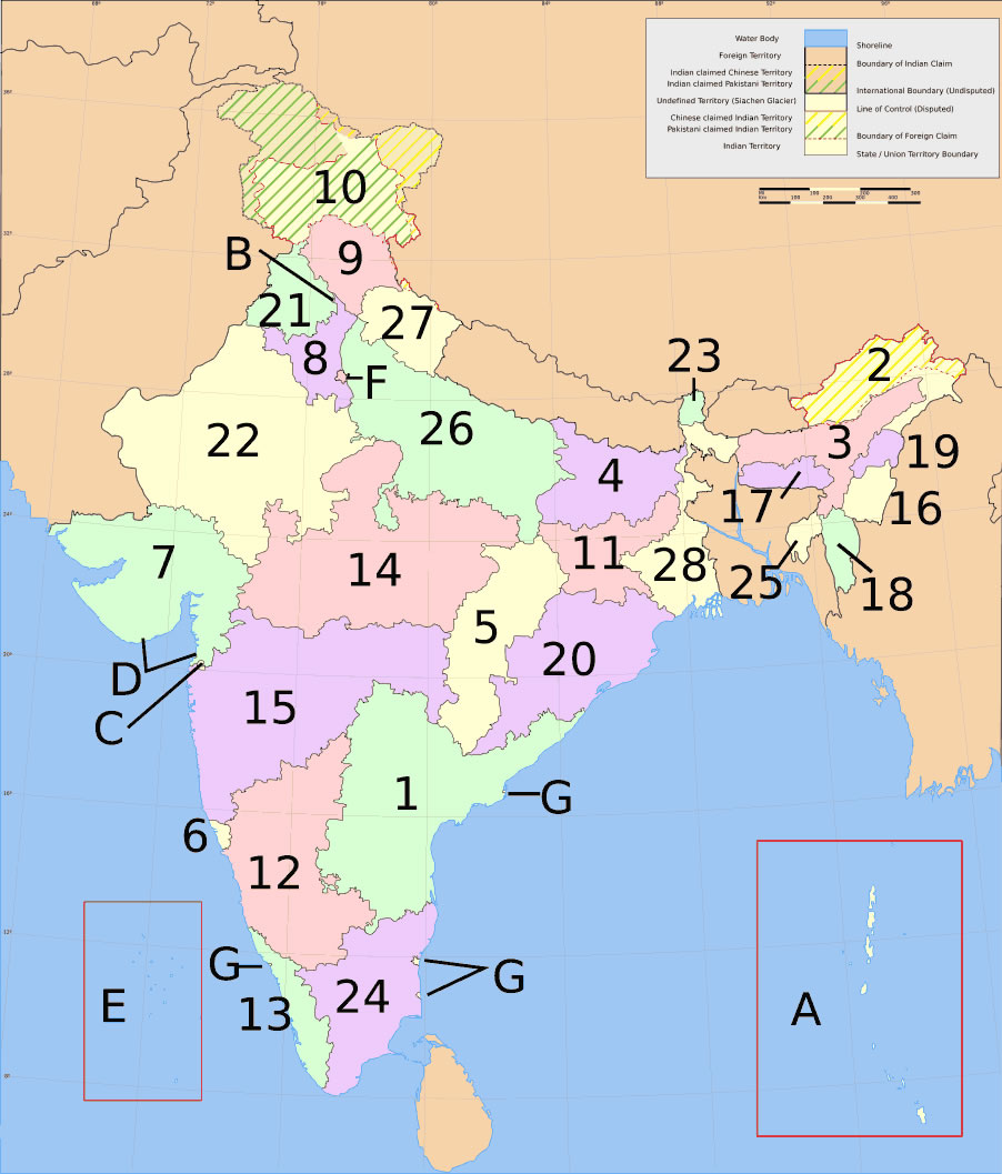
india-states-numbered-map
India Maps
 India railway schematic map
 India historical map 1760 from The Public Schools Historical Atlas
 India numbered stats
 India small map
 India location world map
 Population map of India 1973
 India regions citys map
 India map bbsr direct train full
 India climatic zone map
 India physio map 2001
 India national roads map
 India
India Crop areas map of india 1973
 India historical map 1700 1792 from The Historical Atlas
 Wikipedia oldmysore India map
 india wfb map
 India flag map
 India South asia Map
 India locator map blank
 South asia local langage map
 Where India located
 State and union territories India map
 India physical map
 India china border western sector 1980
 Indien map 2006
 Delhi Location
 Historical map of India 1809
 Historical map India 1808
 China India border eastern sector 1988
 Bombay North 1954 Topographic Map
 Calcutta map 1945 City Plan
 Rivers and lakes India map
 Languages and religions map of India 1973
 Map of india
 Map India