india-states-by-rto-codes-map
India Maps
 Political map of India 1996
 Delhi and Vicinity histrotical map 1962 City Plan
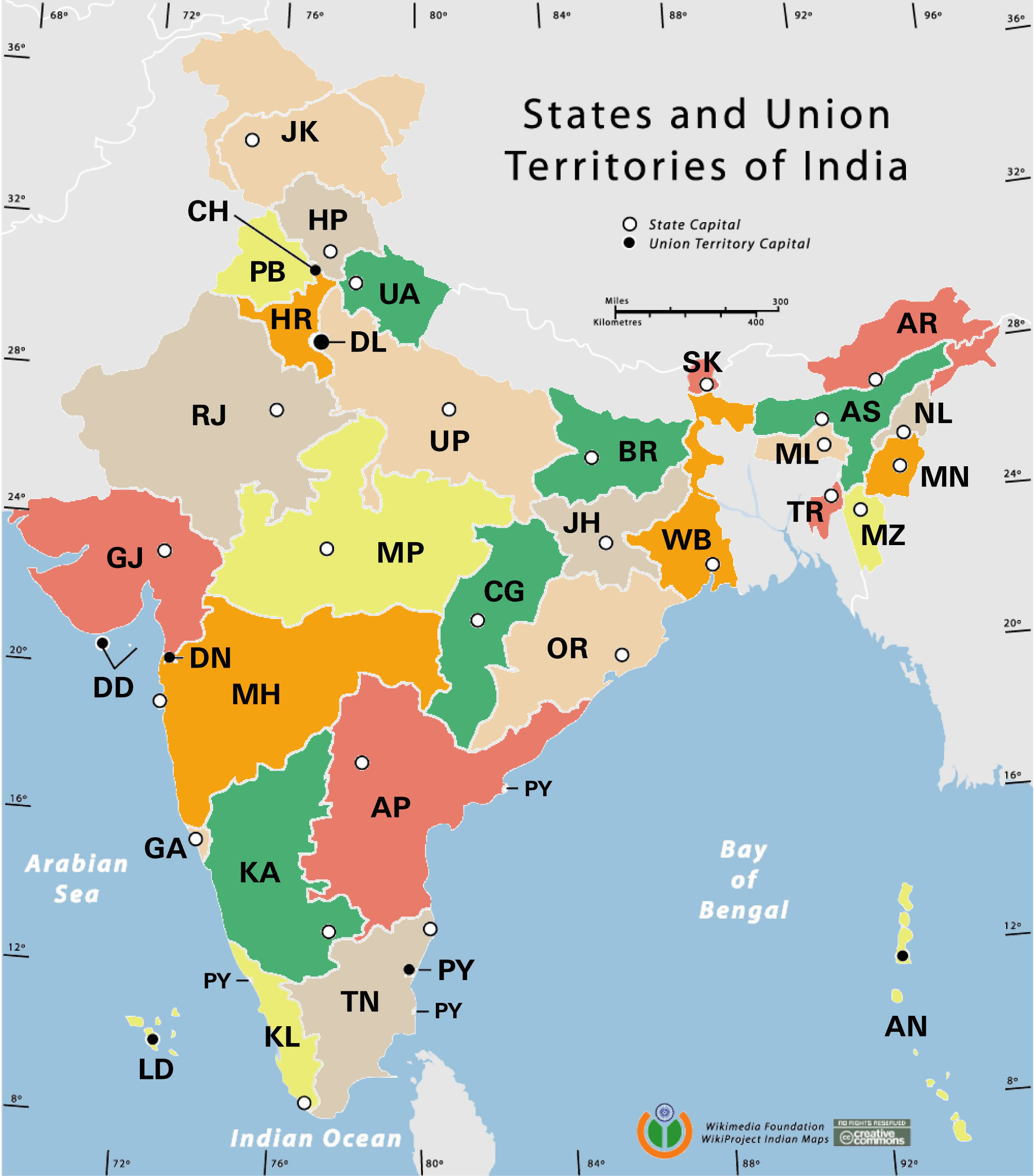
 States and union territories of India
 China India border western sector 1988
 India national roads map
 Population map of India 1973
 India numbered stats
 Historical map of India in 1760
 Calcutta map 1945 City Plan
 Large city population density India map
 Relief of India
 Bombay South 1954 Topographic Map
 India relief map
 India location world map
 Rivers and lakes topographic map
 Location of Delhi
 India railway schematic map
 India ter map
 India airports and seaports map
 Topographic India map
 South India regions map
 India Transportation map
 India geology map
 Political map of India 2001
 India map 1760
 India pakistan physical map
 State and union territories India map
 Religions map of India 1987
 India physical
 South asia local India map
 Karte indien bundesstaaten unionsterritorien
 India flag
 India historical map mogul
 Map of india
 Population density India map