


alphabetisierungsrate-indien-karte
India Maps
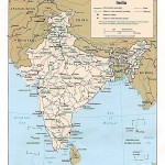 Political map of India 1996
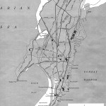 Bombay India historical map 1954 City Plan
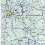 Delhi and Agra Operational Navigation Chart
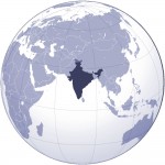 Where India located
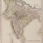 India historical map
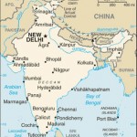 india wfb map
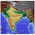 India topogaphy
 Bhuj Anjar Area Gujarat Topographic Map 1955
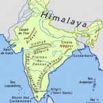 Relief of India
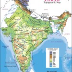 India physical
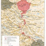 China India border western sector 1988
 India flag map
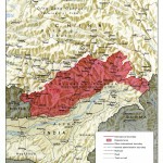 China India border eastern sector 1988
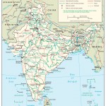 The india map
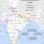 Railway network map
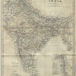 India historical map 1882, Commerce and Commercial Navigation
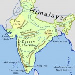 India geographical map
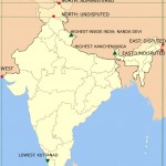 Map extreme points of India
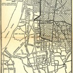 Calcutta map 1945 City Plan
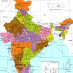 India regions citys map
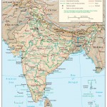 India relief map
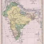 Historical map of India in 1760
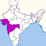 West India map
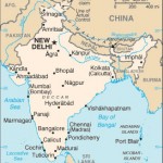 Small map of india
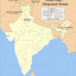 India disputed areas map
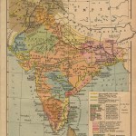 India historical map 1700 1792 from The Historical Atlas
 India locator map blank
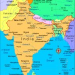 Rivers India map
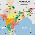 Indien bundesstaaten und unionsterritorien map
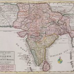 Historical map India
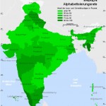 Alphabetisierungsrate indien karte
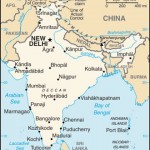 India small map
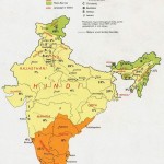 Languages and religions map of India 1973
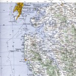 Bombay South 1954 Topographic Map
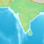 Topographic India map