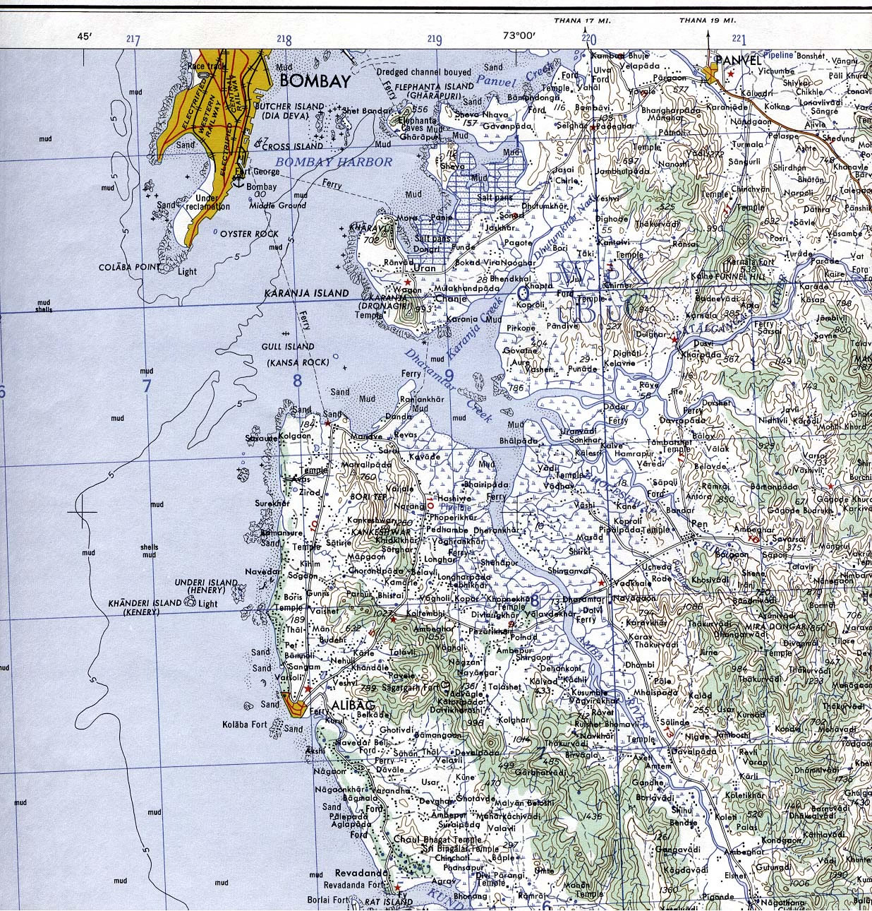
Bombay-South-1954-Topographic-Map
India Maps
 India tourist map
 India ter map
 Political map of India 1996
 States and union territories of India
 India map 1760
 Location of Delhi
 Relief of India
 Religions map of India 1987
 India map bbsr direct train full
 Railway network map
 Historic maps british India
 South asia local langage map
 India calcutta map
 Languages and religions map of India 1973
 China India border eastern sector 1988
 India topographic blank map
 Shared relief map of India 1979
 South asia India satellite map
 India satellite map
 India climatic zone map
 Calcutta map 1945 City Plan
 Bombay South 1954 Topographic Map
 India regions citys map
 India physical
 Historical map India
 India city scale map
 Bombay India historical map 1909
 Rivers and lakes topographic map
 India states by rto codes map
 West India map
 Relief map of India 1996
 India states numbered map
 India locator map blank
 Bombay Map Tactical Pilotage Chart
 india wfb map