historical-map-of-india-in-1760
India Maps
 Historical map India 1808
 India flag
 India map
 Karte indien bundesstaaten unionsterritorien
 Bombay India historical map 1909
 Political map of India 1996
 India natural hazards map
 Historical maps India in 1804
 Calcutta map 1945 City Plan
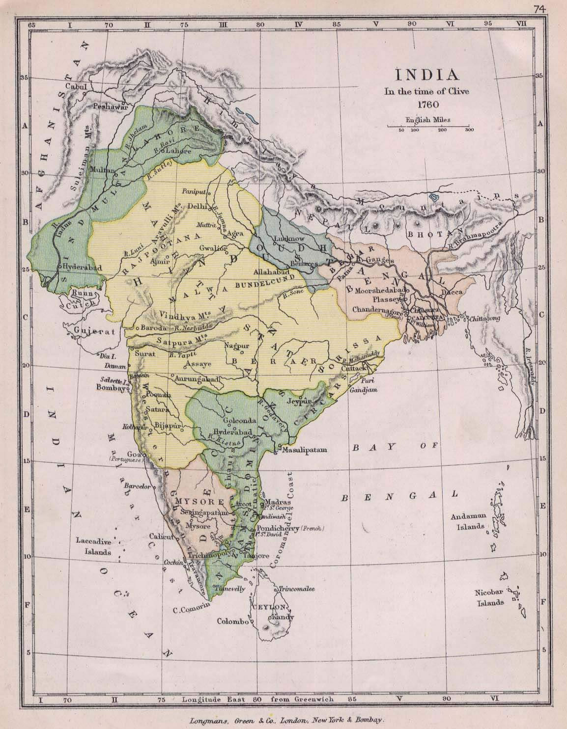
 India map 1760
 India historical map mogul
 India location world map
 Historical map of India 1809
 India languages map
 Bombay North 1954 Topographic Map
 Map of relief India
 Map of india
 Small map of india
 Religions map of India 1987
 States and union territories of India
 India historical map 1882, Commerce and Commercial Navigation
 South asia local India map
 India states by rto codes map
 India numbered stats
 Indian railways map
 India china border western sector 1980
 Distribution of christians in Indian states map
 Map India
 India ter map
 India Transportation map
 Railway network map
 India geological regions map
 Alphabetisierungsrate indien karte
 India topogaphy
 Map extreme points of India