India-South-asia-Map
India Maps
 Map of India airport city states
 Indien bundesstaaten und unionsterritorien map
 Rivers and lakes India map
 India
India Topographic India map
 Large city population density India map
 India location world map
 India small map
 Historic maps british India
 Rivers map of India
 Location of Delhi
 india wfb map
 Bombay Map Tactical Pilotage Chart
 India energy map 1997
 Rivers India map
 Where India located
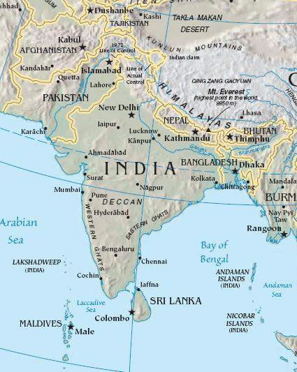
 South asia local India map
 India historical map 1760 from The Public Schools Historical Atlas
 Railway network schematic map
 India physio map 2001
 Bombay India historical map 1954 City Plan
 India physical
 South asia local langage map
 Railway network map
 West India map
 Relief of India
 Delhi and Agra Operational Navigation Chart
 Historical maps India in 1804
 India flag
 Calcutta map 1945 City Plan
 India map bbsr direct train full
 India historical map 1882, Commerce and Commercial Navigation
 India city scale map
 India geology zones
 India relief map