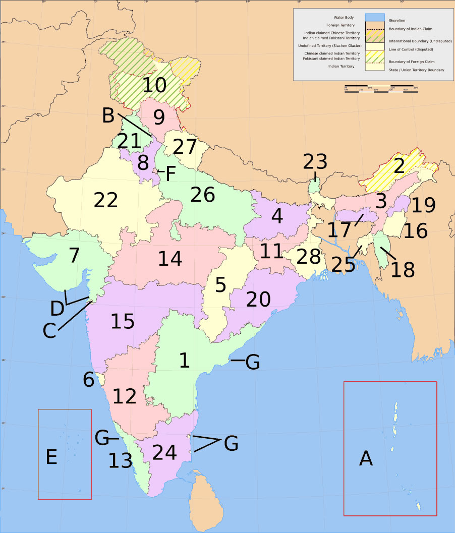
india-states-numbered-map
India Maps
 India national roads map
 State and union territories India map
 States and union territories of India
 Map extreme points of India
 Crop areas map of india 1973
 Indian railways map
 Delhi and Vicinity histrotical map 1962 City Plan
 India geology map
 South India regions map
 Large city population density India map
 Population density India map
 India location world map
 Historical map of India 1809
 South asia local langage map
 Damao Daman 1954 Topographic India Map
 India rajasthan locator map
 West India map
 India geographical map
 India historical map 1700 1792 from The Historical Atlas
 India satellite map
 India regions citys map
 Historical map India
 India disputed areas map
 Cultural regional areas of india map
 Rivers and lakes India map
 Alphabetisierungsrate indien karte
 India ter map
 India natural hazards map
 India geological regions map
 India city scale map
 Karte indien bundesstaaten unionsterritorien
 Calcutta map 1945 City Plan
 Religions map of India 1987
 India tourist map
 India citys map